Trail Other activity Cassel - Cassel  - Photo
 doclocjl
doclocjl

User

© OpenStreetMap contributors
Length
Length
15.2 km
Max alt
Max alt
159 m
Uphill gradient
Uphill gradient
231 m
Km-Effort
Km-Effort  
18.3 km
Min alt
Min alt
28 m
Downhill gradient
Downhill gradient
232 m
Boucle
Boucle
Yes
Creation date :
2016-12-31 00:00:00.0
Updated on :
2016-12-31 00:00:00.0

(0 Reviews)

Other activity
Other activity
4h20
Difficulty : Very easy

Scan this QR Code to open this trail in the SityTrail application

FREE GPS app for hiking

Logo SityTrail SityTrail

IGN / Geographical institutes

Download SityTrail from the App Store Download SityTrail from Google Play

Logo SityTrail SityTrail World

The world is yours!

Download SityTrail from the App Store Download SityTrail from Google Play Download SityTrail on Huawei AppGallery

About

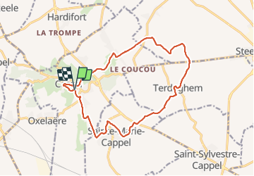
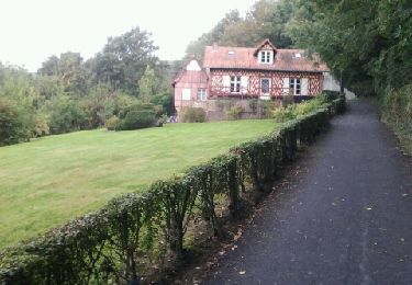
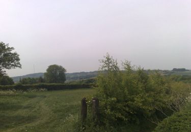
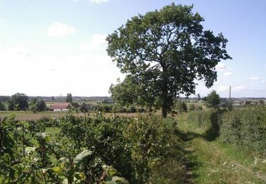
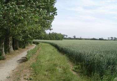
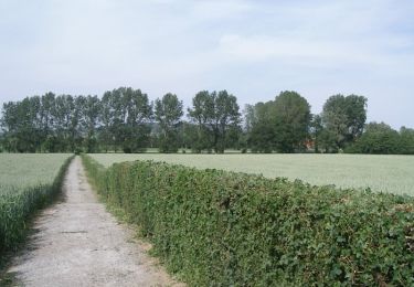
Trail Other activity of 15.2 km to be discovered at Hauts-de-France, Nord, Cassel. This trail is proposed by doclocjl.

Description

Mont et Plaines

Elevation profile

Positioning

Country:
France
Region :
Hauts-de-France
Department/Province :
Nord
Municipality :
Cassel
Location:
Unknown
Start:(UTM)
464076 ; 5627516 (31U) N.

Trails nearby

Trail Walking Cassel - Circuit d'Oxelaëre - Cassel - Photo
Walking
tracegps

Walking

Easy
(1)
Cassel, Hauts-de-France, Nord, France
6.4 km | 8.4 km-effort
1h 34min
Yes
Trail Walking Cassel - Cassel Terdeghem 15 km - Photo
Walking
GUIDE
rvapeldo

Walking

Medium
Cassel, Hauts-de-France, Nord, France
16.2 km | 19.5 km-effort
4h 23min
Yes
Trail Walking Steenvoorde - Départ Steenvoorde arrivée CampingLa ferme des Saules - Photo
Walking
jeff2

Walking

Medium
Steenvoorde, Hauts-de-France, Nord, France
28 km | 32 km-effort
8h 47min
No
Trail Running Sainte-Marie-Cappel - Ste marie Cappel - Mont Cassel - Photo
Running
jamboxland

Running

Easy
Sainte-Marie-Cappel, Hauts-de-France, Nord, France
14.5 km | 17.9 km-effort
1h 31min
Yes
Trail Walking Cassel - Cassel, par rues et ruelles - Photo
Walking

Walking

Very easy
Cassel, Hauts-de-France, Nord, France
3.4 km | 4.3 km-effort
Unknown
Yes
Trail Mountain bike Saint-Sylvestre-Cappel - De Saint Sylvestre Cappel au Mont des Cats - Photo
Mountain bike
tracegps

Mountain bike

Medium
Saint-Sylvestre-Cappel, Hauts-de-France, Nord, France
33 km | 38 km-effort
2h 30min
Yes
Trail Walking Wemaers-Cappel - Circuit des seigneurs de la Weesche -  Zermezeele  - Photo
Walking
tracegps

Walking

Medium
Wemaers-Cappel, Hauts-de-France, Nord, France
10.9 km | 12 km-effort
2h 40min
Yes
Trail Walking Bavinchove - Circuit du Val de Cassel (version courte) - Bavinchove - Photo
Walking
tracegps

Walking

Difficult
Bavinchove, Hauts-de-France, Nord, France
12.6 km | 13.8 km-effort
3h 10min
Yes
Trail Walking Bavinchove - Circuit du Val de Cassel (version longue) - Bavinchove - Photo
Walking
tracegps

Walking

Very difficult
Bavinchove, Hauts-de-France, Nord, France
17.5 km | 19.2 km-effort
4h 25min
Yes


Close
My subscriptions