


 Etapa 2 - Photo 21")
 Etapa 2 - Photo 22")
 Etapa 2 - Photo 23")
 Etapa 2 - Photo 24")
 Etapa 2 - Photo 25")
 Etapa 2 - Photo 26")
 Etapa 2 - Photo 27")
 Etapa 2 - Photo 28")
 Etapa 2 - Photo 29")
 Etapa 2 - Photo 30")
 Etapa 2 - Photo 31")
 Etapa 2 - Photo 32")
 Etapa 2 - Photo 33")
 Etapa 2 - Photo 34")
 Etapa 2 - Photo 35")
 Etapa 2 - Photo 36")
 Etapa 2 - Photo 37")
 Etapa 2 - Photo 38")
 Etapa 2 - Photo 39")
 Etapa 2 - Photo 40")
 Etapa 2 - Photo 41")
 Etapa 2 - Photo 42")
 Etapa 2 - Photo 43")
 Etapa 2 - Photo 44")
 Etapa 2 - Photo 45")
 Etapa 2 - Photo 46")

19.4 km | 27 km-effort

User


FREE GPS app for hiking
 SityTrail
IGN / Geographical institutes
SityTrail World
The world is yours!
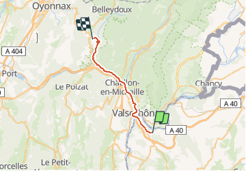
Trail Walking of 25 km to be discovered at Auvergne-Rhône-Alpes, Upper Savoy, Éloise. This trail is proposed by RafaTuareg.
De Eloise a Échallon
 Etapa 2 - Photo 1")
 Etapa 2 - Photo 2")
 Etapa 2 - Photo 3")
 Etapa 2 - Photo 4")
 Etapa 2 - Photo 5")
 Etapa 2 - Photo 6")
 Etapa 2 - Photo 7")
 Etapa 2 - Photo 8")
 Etapa 2 - Photo 9")
 Etapa 2 - Photo 10")
 Etapa 2 - Photo 11")
 Etapa 2 - Photo 12")
 Etapa 2 - Photo 13")
 Etapa 2 - Photo 14")
 Etapa 2 - Photo 15")
 Etapa 2 - Photo 16")
 Etapa 2 - Photo 17")
 Etapa 2 - Photo 18")
 Etapa 2 - Photo 19")
 Etapa 2 - Photo 20")
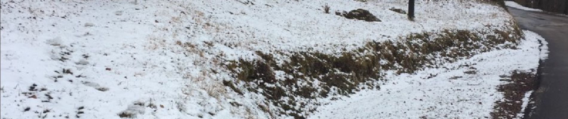
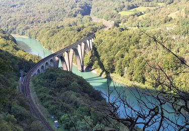
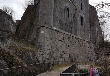
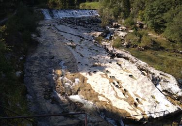
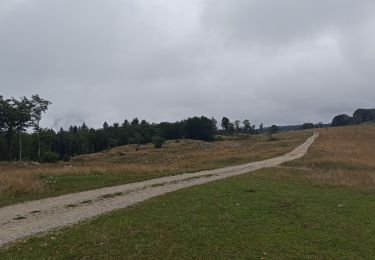
46 photos in total. Please click on a photo to see them all in the gallery.
Walking
Walking
Walking
Walking
Walking
Walking
Walking
Walking

Walking