


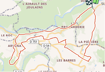

11.3 km | 13.3 km-effort


User


FREE GPS app for hiking
 SityTrail
IGN / Geographical institutes
SityTrail World
The world is yours!
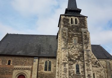
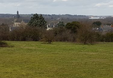
Trail Running of 13.6 km to be discovered at Pays de la Loire, Maine-et-Loire, Rochefort-sur-Loire. This trail is proposed by choubaka77.

Walking

Walking
On foot
Walking
Walking
Walking
Walking
Walking

Walking