


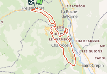

14.7 km | 26 km-effort


User


FREE GPS app for hiking
 SityTrail
IGN / Geographical institutes
SityTrail World
The world is yours!
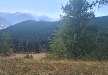
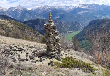
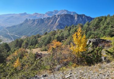
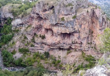
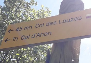
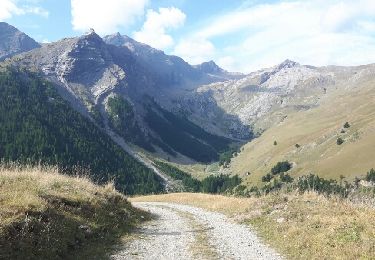
Trail Other activity of 22 km to be discovered at Provence-Alpes-Côte d'Azur, Hautes-Alpes, Freissinières. This trail is proposed by markford.
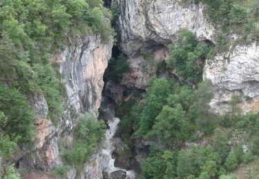
Great tecnical descent into the Durance Valley. Bit of a pysical middle section.

Walking
Walking

Walking
Mountain bike
Walking
Walking
Walking
Walking
Walking