


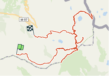

21 km | 35 km-effort

User


FREE GPS app for hiking
 SityTrail
IGN / Geographical institutes
SityTrail World
The world is yours!
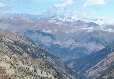
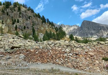
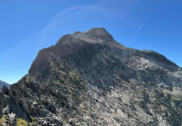
Trail Walking of 22 km to be discovered at Provence-Alpes-Côte d'Azur, Maritime Alps, Isola. This trail is proposed by Dervalmarc.
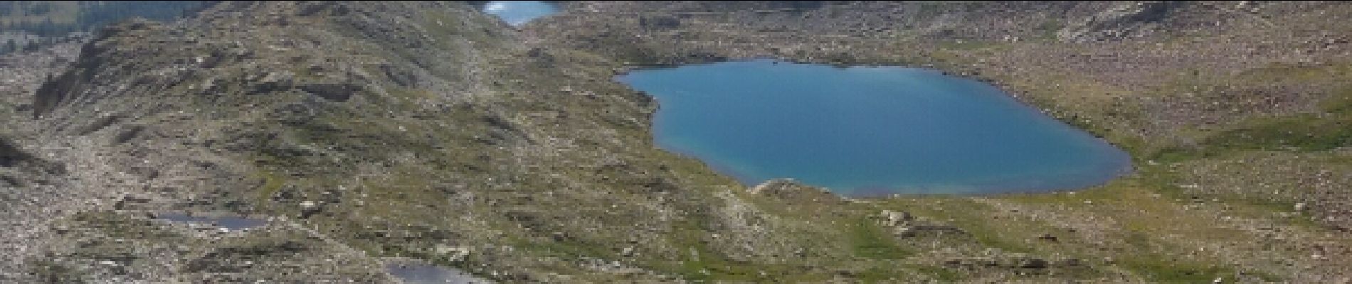
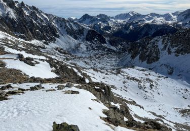
Attention au balisage très dégradé entre le col Merciere et les lacs de Terres Rouges.Pour la montée en raison de fortes chaleurs nous avons optes pour la montée avec le télésiège des Marmottes.


Other activity
On foot
On foot

Walking
Snowshoes
Walking
Walking
Walking