


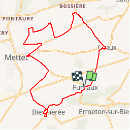


18.3 km | 24 km-effort


Vivez Explore Meuse GUIDE+


FREE GPS app for hiking
 SityTrail
IGN / Geographical institutes
SityTrail World
The world is yours!
Trail Cycle of 18.8 km to be discovered at Wallonia, Namur, Mettet. This trail is proposed by Maison du Tourisme Explore Meuse.
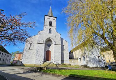
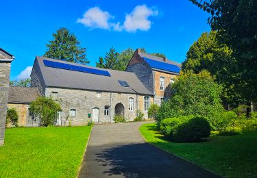
Ce circuit champêtre nous entraîne à la découverte du patrimoine et de l'environnement de quatre villages pittoresques de la Commune de Mettet: Furnaux, Biesmerée, Bossière et Graux.

Walking

Walking

Walking

Walking

Walking
Walking
Walking
Walking
Walking
très chouette balade