9.7 km | 0 m-effort
Le tour de la presqu'île de Roscanvel
herve.feurprier
User
Length
15.6 km
Max alt
71 m
Uphill gradient
320 m
Km-Effort
19.9 km
Min alt
3 m
Downhill gradient
322 m
Boucle
Yes
Creation date :
2019-05-18 00:51:40.65
Updated on :
2019-05-18 00:51:44.157
4h15
Difficulty : Easy
FREE GPS app for hiking
About
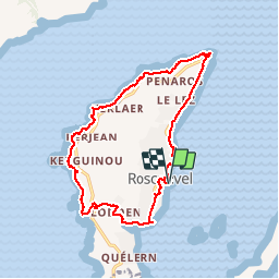
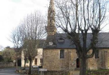
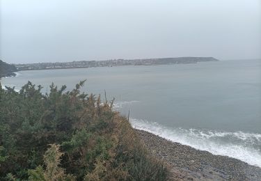
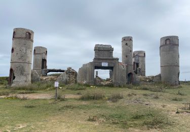
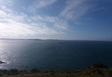
Trail Walking of 15.6 km to be discovered at Brittany, Finistère, Roscanvel. This trail is proposed by herve.feurprier.
Description
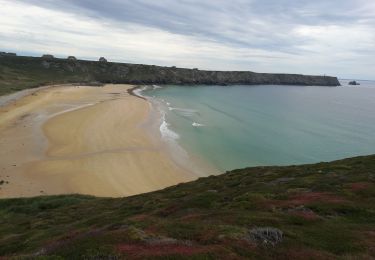
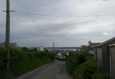
Le début se passe sur la route mais ensuite le GR est très sympa avec des vues magnifiques
Positioning
Country:
France
Region :
Brittany
Department/Province :
Finistère
Municipality :
Roscanvel
Location:
Unknown
Start:(Dec)
Start:(UTM)
385377 ; 5352401 (30U) N.
Comments
Trails nearby
a les 3 pointes de camaret
Walking
Easy
(1)
Camaret-sur-Mer,
Brittany,
Finistère,
France
10.9 km | 14 km-effort
2h 58min
Yes
De Roscanvel à la Pointe des Espagnols
Walking
Medium
(2)
Roscanvel,
Brittany,
Finistère,
France
17.7 km | 22 km-effort
2h 30min
Yes
tour de camaret
Walking
Easy
(1)
Camaret-sur-Mer,
Brittany,
Finistère,
France
18.4 km | 24 km-effort
4h 16min
Yes
Pointe des Espagnols - Roscanvel
Walking
Medium
(2)
Roscanvel,
Brittany,
Finistère,
France
14.9 km | 18.6 km-effort
3h 19min
Yes
Randonnée de Camaret
Walking
Medium
(1)
Camaret-sur-Mer,
Brittany,
Finistère,
France
18.3 km | 22 km-effort
5h 5min
Yes
camaret
Nordic walking
Very easy
Camaret-sur-Mer,
Brittany,
Finistère,
France
19.2 km | 24 km-effort
4h 21min
Yes
Les pointes de Pen Hir et grand Gouin
Walking
Difficult
Camaret-sur-Mer,
Brittany,
Finistère,
France
10.9 km | 13.4 km-effort
3h 56min
Yes
boucle pointe espagnole
Walking
Easy
(1)
Roscanvel,
Brittany,
Finistère,
France
13.7 km | 16.9 km-effort
3h 19min
Yes