Trail Walking Raizeux - _L'effet papillon - Photo

_L'effet papillon

Randonnées du Parc naturel régional de la Haute Vallée de Chevreuse GUIDE+

© OpenStreetMap contributors
Length
Length
6.4 km
Max alt
Max alt
160 m
Uphill gradient
Uphill gradient
87 m
Km-Effort
Km-Effort  
7.5 km
Min alt
Min alt
119 m
Downhill gradient
Downhill gradient
87 m
Boucle
Boucle
Yes
Creation date :
2018-04-24 00:00:00.0
Updated on :
2018-04-24 00:00:00.0

(0 Reviews)

Walking
Walking
1h30
Difficulty : Medium

Scan this QR Code to open this trail in the SityTrail application

FREE GPS app for hiking

Logo SityTrail SityTrail

IGN / Geographical institutes

Download SityTrail from the App Store Download SityTrail from Google Play

Logo SityTrail SityTrail World

The world is yours!

Download SityTrail from the App Store Download SityTrail from Google Play Download SityTrail on Huawei AppGallery

About

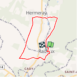
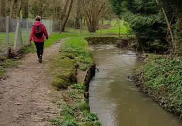
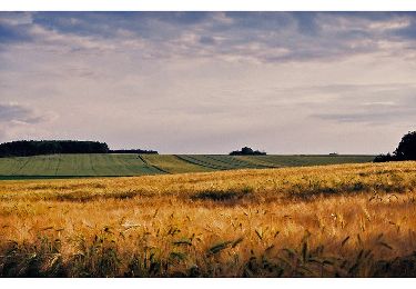
Trail Walking of 6.4 km to be discovered at Ile-de-France, Yvelines, Raizeux. This trail is proposed by Parc naturel régional de la Haute Vallée de Chevreuse.

Description

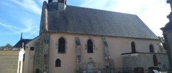
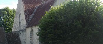
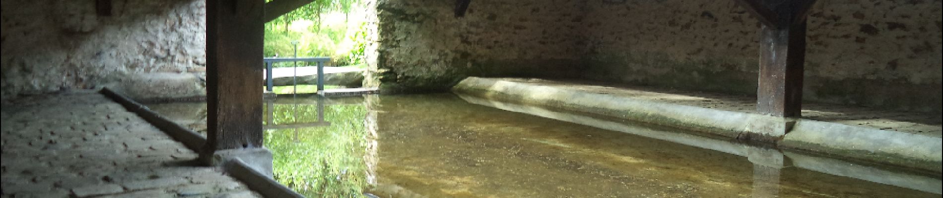
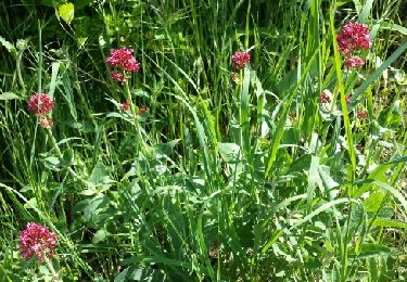
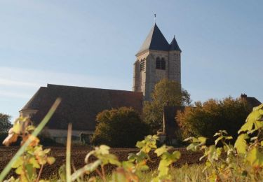
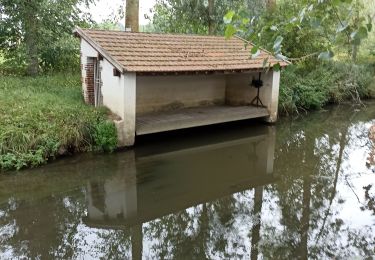
De Raizeux à Hermeray, cette balade vous invite à aller butinernombre de petits détails de la vie rurale, notamment un jardin «extraordinaire », pour composer au final un tableau champêtre demaître, ou une photo à la Doisneau, hôte illustre de Raizeux.

Elevation profile

Photos

Points of interest

Point of interest Raizeux - Eglise - Photo
Parc naturel régional de la Haute Vallée de Chevreuse
RAIZEUX 
Point of interest Hermeray - Pont dangereux - Photo
Parc naturel régional de la Haute Vallée de Chevreuse
HERMERAY 
Point of interest Hermeray - Eglise  - Photo
Parc naturel régional de la Haute Vallée de Chevreuse
HERMERAY 
Point of interest Raizeux - Lavoir de la motte - Photo
Parc naturel régional de la Haute Vallée de Chevreuse

Positioning

Country:
France
Region :
Ile-de-France
Department/Province :
Yvelines
Municipality :
Raizeux
Location:
Unknown
Start:(UTM)
402973 ; 5386492 (31U) N.

Trails nearby

Trail Walking Droue-sur-Drouette - Droue sur Drouette st hillarion - Photo
Walking
topophil

Walking

Very easy
(1)
Droue-sur-Drouette, Centre-Loire Valley, Eure-et-Loir, France
11.6 km | 13.8 km-effort
3h 0min
Yes
Trail Walking Hermeray - Sortie botanique Hermeray - Photo
Walking
microb

Walking

Easy
Hermeray, Ile-de-France, Yvelines, France
3.3 km | 3.6 km-effort
2h 47min
Yes
Trail Walking Épernon - D'Epernon à Saint-Martin-de-Nigelles - Photo
Walking
tracegps

Walking

Difficult
Épernon, Centre-Loire Valley, Eure-et-Loir, France
16.3 km | 18.2 km-effort
4h 4min
Yes
Trail Walking Hanches - Hanches  - Photo
Walking
jctbis

Walking

Easy
Hanches, Centre-Loire Valley, Eure-et-Loir, France
11.8 km | 13.2 km-effort
2h 57min
Yes
Trail Walking Émancé - emancé,  sauvage 16032020 - Photo
Walking
cemoi

Walking

Very easy
Émancé, Ile-de-France, Yvelines, France
11.5 km | 13.4 km-effort
2h 15min
Yes
Trail Walking Épernon - Autour d'Epernon et de la Drouette - Photo
Walking
tracegps

Walking

Difficult
(1)
Épernon, Centre-Loire Valley, Eure-et-Loir, France
22 km | 26 km-effort
5h 30min
Yes
Trail Walking Épernon - Épernon Mitainville  - Photo
Walking
Diabou

Walking

Very difficult
Épernon, Centre-Loire Valley, Eure-et-Loir, France
23 km | 27 km-effort
4h 15min
No
Trail Mountain bike Hanches - hanches Droue sur Drouette st Hilarion - Photo
Mountain bike
topophil

Mountain bike

Difficult
Hanches, Centre-Loire Valley, Eure-et-Loir, France
31 km | 36 km-effort
3h 12min
Yes
Trail Walking Saint-Hilarion - st Hilarion  - Photo
Walking
topophil

Walking

Difficult
Saint-Hilarion, Ile-de-France, Yvelines, France
10.2 km | 12.1 km-effort
2h 27min
Yes


Close
My subscriptions