


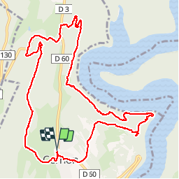


13.8 km | 18.3 km-effort

User


FREE GPS app for hiking
 SityTrail
IGN / Geographical institutes
SityTrail World
The world is yours!
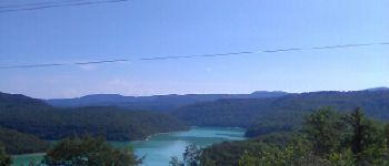
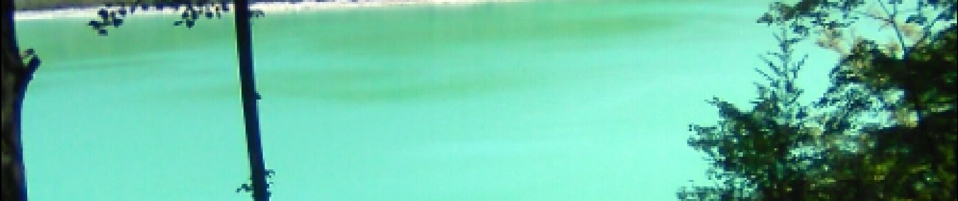
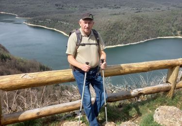
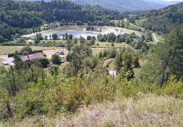
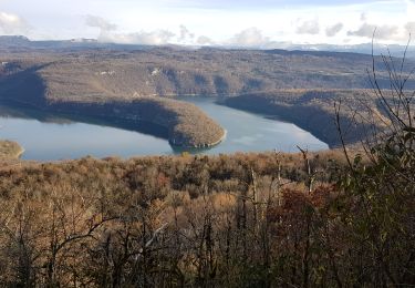
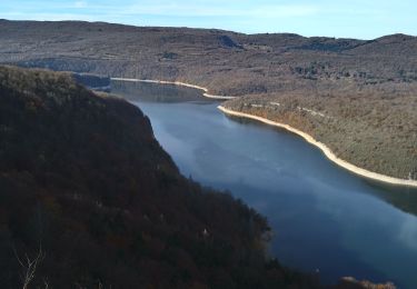
Trail Walking of 12.7 km to be discovered at Bourgogne-Franche-Comté, Jura, Cernon. This trail is proposed by Bogapuki.
18 juillet 2017
Temps chaud et ensolellé.
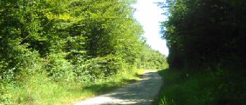
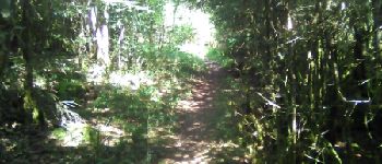
Une très grande partie de la rando à l'ombre.
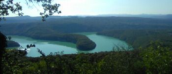
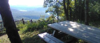
Privilégier le sens "bords de l'Ain"-"belvédère du Chatelet"; En partant le matin, déjeuner au belvédère vers midi (à condition de ne pas partir aux aurores.
Faible dénivelé sans aucune difficulté.
A faire même en famille


Walking
Walking
Walking

Horseback riding
Walking
Walking

Other activity
Walking
Walking
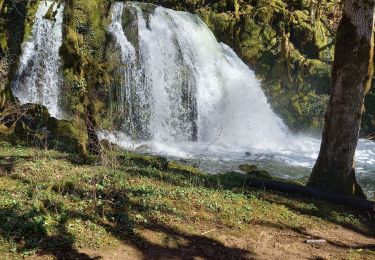
magnifique vue nous avons adorer