


11.9 km | 17 km-effort


User


FREE GPS app for hiking
 SityTrail
IGN / Geographical institutes
SityTrail World
The world is yours!
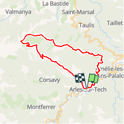
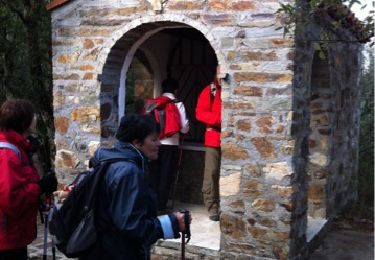
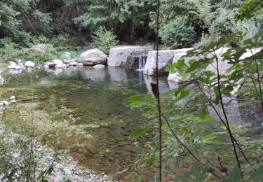
Trail Other activity of 32 km to be discovered at Occitania, Pyrénées-Orientales, Arles-sur-Tech. This trail is proposed by toficou.
arles sur tech
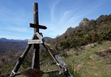
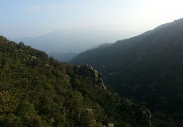
puig de l'Estelle
retour par montalba
Walking
Walking
Walking

Walking
Walking
Walking
Walking
Walking
Mountain bike