Randonnée Marche Ottersthal - saut du prince Charles fossé des Pandore - Photo

saut du prince Charles fossé des Pandore

 remysimon
remysimon

Utilisateur

© OpenStreetMap contributors
Longueur
Longueur
16,3 km
Altitude max
Altitude max
418 m
Dénivelé positif
Dénivelé positif
439 m
Km-Effort
Km-Effort  
22 km
Altitude min
Altitude min
305 m
Dénivelé négatif
Dénivelé négatif
437 m
Boucle
Boucle
Oui
Date de création :
2017-03-30 00:00:00.0
Dernière modification :
2017-03-30 00:00:00.0

(0 Avis)

Marche
Marche
4h09
Difficulté : Moyen

Scannez ce code QR pour ouvrir la randonnée dans l'application SityTrail

Application GPS de randonnée GRATUITE

Logo SityTrail SityTrail

IGN / Instituts géographiques

Télécharger SityTrail sur l'App Store Télécharger SityTrail sur Google Play

Logo SityTrail SityTrail World

Le monde est à vous

Télécharger SityTrail sur l'App Store Télécharger SityTrail sur Google Play Télécharger SityTrail sur Huawei AppGallery

À propos

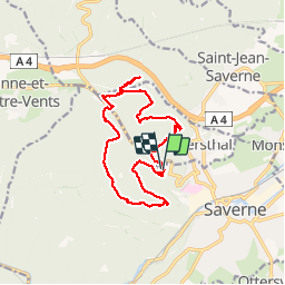
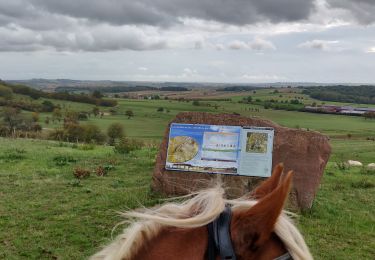
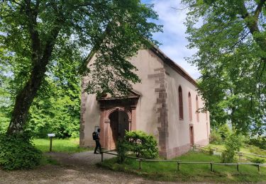
Randonnée Marche de 16,3 km à découvrir à Grand Est, Bas-Rhin, Ottersthal. Cette randonnée est proposée par remysimon.

Profil altimétrique

Photos

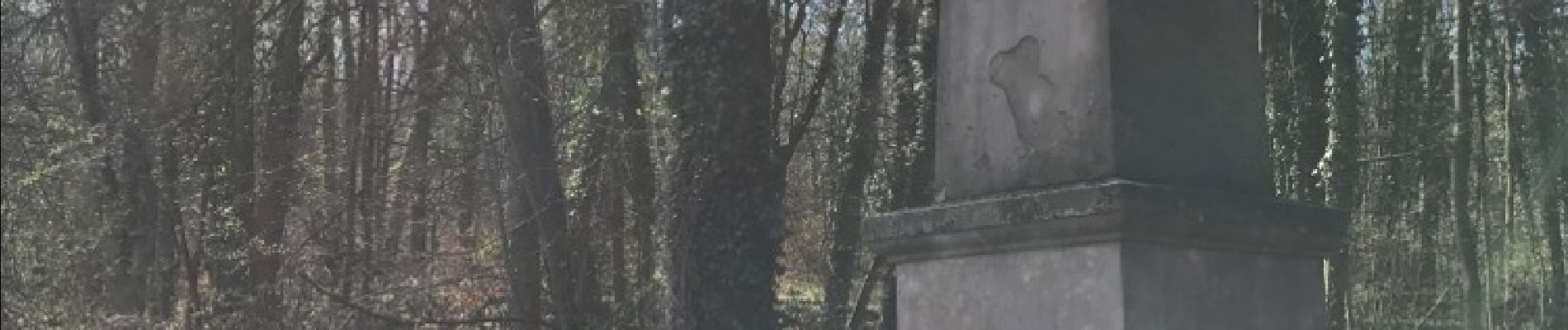
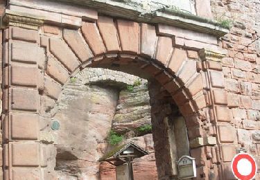
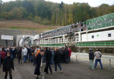
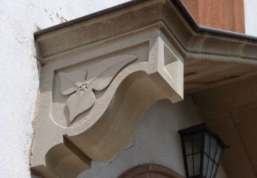
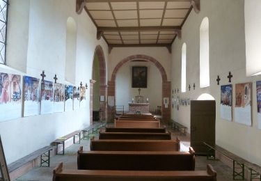
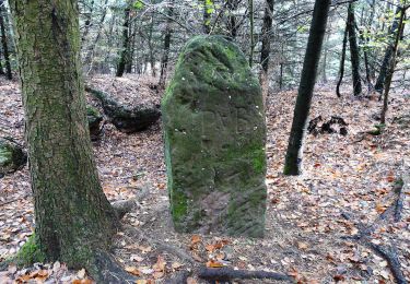
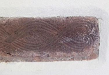
26 photos au total. Cliquez sur une photo pour les afficher toutes dans la galerie.

Localisation

Pays :
France
Région :
Grand Est
Département/Province :
Bas-Rhin
Commune :
Ottersthal
Localité :
Unknown
Départ:(Dec)
Départ:(UTM)
378000 ; 5401028 (32U) N.

Randonnées à proximité

Randonnée V.T.T. Saverne - Tour du Brotsch - Saverne - Photo
V.T.T.
tracegps

V.T.T.

Moyen
(1)
Saverne, Grand Est, Bas-Rhin, France
13,1 km | 18,6 km-effort
1h 30min
Oui
Randonnée A pied Ernolsheim-lès-Saverne - Rectangle bleu barré de blanc - Photo
A pied
PRO

A pied

Facile
Ernolsheim-lès-Saverne, Grand Est, Bas-Rhin, France
5,6 km | 7,3 km-effort
1h 39min
Non
Randonnée A pied Ernolsheim-lès-Saverne - Anneau jaune - Photo
A pied
PRO

A pied

Facile
Ernolsheim-lès-Saverne, Grand Est, Bas-Rhin, France
3,6 km | 6,2 km-effort
1h 24min
Oui
Randonnée A pied Saint-Jean-Saverne - Chevalet rouge - Photo
A pied
PRO

A pied

Facile
Saint-Jean-Saverne, Grand Est, Bas-Rhin, France
3,6 km | 4,6 km-effort
1h 2min
Non
Randonnée A pied Saint-Jean-Saverne - Circuit Archéologique d'Ernolsheim-lès-Saverne - Photo
A pied
PRO

A pied

Facile
Saint-Jean-Saverne, Grand Est, Bas-Rhin, France
8,7 km | 12,1 km-effort
2h 45min
Oui
Randonnée A pied Saint-Jean-Saverne - Circuit du Frohnberg - Photo
A pied
PRO

A pied

Facile
Saint-Jean-Saverne, Grand Est, Bas-Rhin, France
5,2 km | 6,5 km-effort
1h 28min
Oui
Randonnée A pied Saint-Jean-Saverne - Circuit de la Forêt des Dames - Photo
A pied
PRO

A pied

Facile
Saint-Jean-Saverne, Grand Est, Bas-Rhin, France
4 km | 5 km-effort
1h 8min
Non
Randonnée Randonnée équestre Ernolsheim-lès-Saverne - 2019-10-09 Rando CVA Boucle du Bastberg - Photo
Randonnée équestre
GUIDE
holtzv

Randonnée équestre

Difficile
Ernolsheim-lès-Saverne, Grand Est, Bas-Rhin, France
26 km | 33 km-effort
4h 7min
Oui
Randonnée Marche Ernolsheim-lès-Saverne - 2019-05-30 Marche Mt St Michel Ernolsheim les Saverne Reel - Photo
Marche
GUIDE
holtzv

Marche

Très facile
Ernolsheim-lès-Saverne, Grand Est, Bas-Rhin, France
13,7 km | 19 km-effort
3h 28min
Oui


Fermer
Mes abonnements