


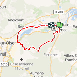


8,4 km | 10,2 km-effort

Gebruiker


Gratisgps-wandelapplicatie
 SityTrail
IGN / Geografische instituten
SityTrail World
De wereld gaat voor u open
Tocht Fiets van 23 km beschikbaar op Hauts-de-France, Oise, Pont-Sainte-Maxence. Deze tocht wordt voorgesteld door gilbertdu60.
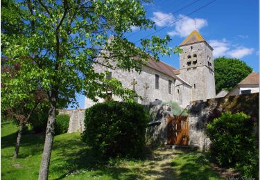
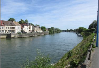
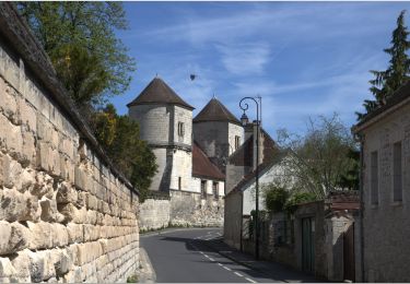
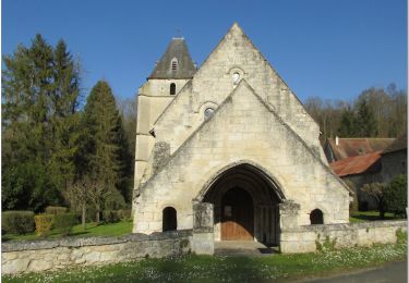
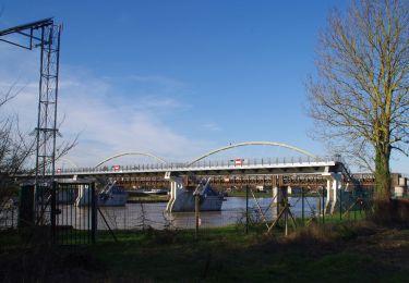
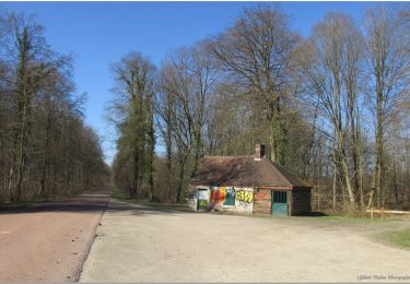
balade en halatte vers Verneuil et retour par chemin de halage rive droite vers Pont sainte Maxence


Stappen

Stappen
Stappen
Hybride fiets
Fietstoerisme
Te voet
Elektrische fiets
Elektrische fiets
Elektrische fiets