


14,5 km | 16,9 km-effort
Brakel: Ontdek de beste tochten: 5 te voet, 42 stappen en 1 lopen. Al deze tochten, trajecten, routes en outdoor activiteiten zijn beschikbaar in onze SityTrail-apps voor smartphones en tablets.
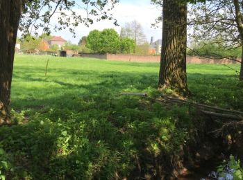
Te voet


• Trail created by Gemeente Brakel.
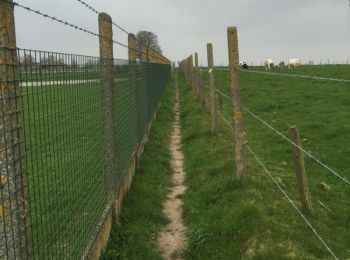
Te voet
• Trail created by Gemeente Brakel.
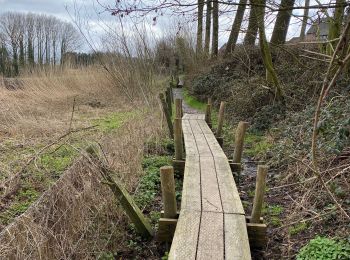
Te voet
• Trail created by Gemeente Brakel.
Stappen
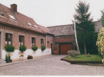
Te voet
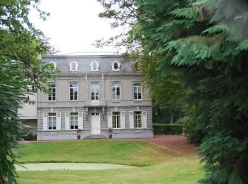
Te voet
Stappen
Stappen
Stappen
Stappen
• route van 'originele wandelroutes' in Vlaanderen. 90% onverhard met mooi zicht op omliggend landschap. Aanrader en ni...
Stappen
Stappen
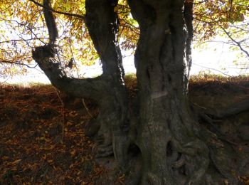
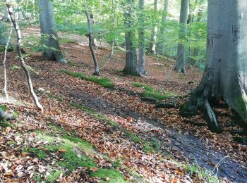
• Slechts 4,5 km maar met alle ingrediënten van de Vlaamse Ardennen: majestueus beukenbos, bosdreven, reliëfwisselingen...

Stappen
Stappen
Stappen
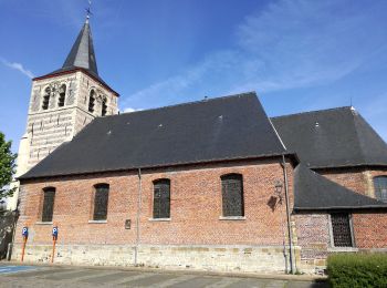
• Everbeek telt twee gemeenschappen: Everbeek-Boven en Everbeek- Beneden, elk met hun eigen parochiekerk. Beide waren v...
Stappen
• More information on GPStracks.nl : http://www.gpstracks.nl
Stappen
• More information on : http://www.wandelroutes.org
Stappen
• More information on : http://www.wandelroutes.org
Stappen
• More information on : http://www.wandelroutes.org
Stappen
• More information on : http://www.wandelroutes.org
20 tochten weergegeven op 48
Gratisgps-wandelapplicatie
 SityTrail
IGN / Geografische instituten
SityTrail World
De wereld gaat voor u open