


23 km | 36 km-effort
La Bresse: Ontdek de beste tochten: 19 te voet, 457 stappen, 25 noords wandelen, 4 lopen en 2 trail. Al deze tochten, trajecten, routes en outdoor activiteiten zijn beschikbaar in onze SityTrail-apps voor smartphones en tablets.
Stappen


Stappen
Stappen
Stappen
Stappen
Stappen
Stappen
Stappen
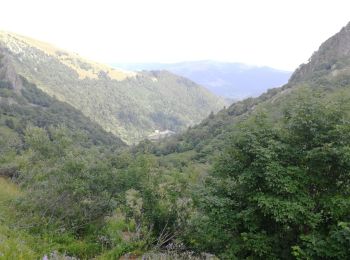
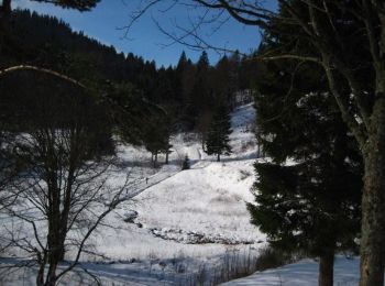
• Randonnée facile avec quelques raidillons.
Stappen
• Randonnée facile avec quelques raidillons.
Stappen
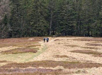
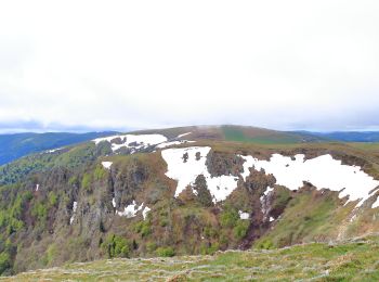
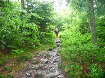
• Randonnée facile. Beaux paysages et chemins forestiers agréables.

Stappen
• Faite le 08/05/2015 avec notre fils de 10 ans. D'après : Mes balades préférées dans les Vosges de Daniel Wenger - N°2...
Stappen
Stappen
Stappen

Stappen
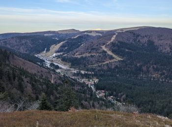
• Détails de la rando sur TraceGPS.com http://www.tracegps.com/fr/parcours/circuit5679.htm

Stappen
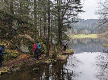
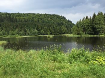
• tour du lac
Stappen
Stappen
Stappen

Te voet
• Trail created by Club Vosgien.
20 tochten weergegeven op 505
Gratisgps-wandelapplicatie
 SityTrail
IGN / Geografische instituten
SityTrail World
De wereld gaat voor u open