


14,6 km | 23 km-effort
Territoire-de-Belfort: Ontdek de beste tochten: 15 te voet, 369 stappen, 3 noords wandelen, 19 lopen en 1 trail. Al deze tochten, trajecten, routes en outdoor activiteiten zijn beschikbaar in onze SityTrail-apps voor smartphones en tablets.
Stappen


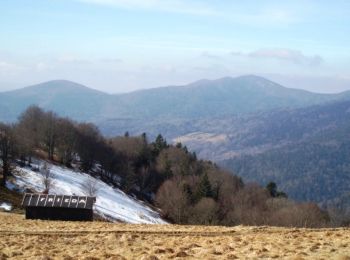
• une rando avec du dénivelé. Essayer de manger à l'étang des belles filles, le coin est très sympa. la trace est issue...

Stappen

Stappen
Stappen

Stappen
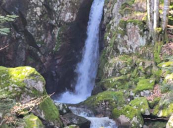
• tracé GPS
Stappen
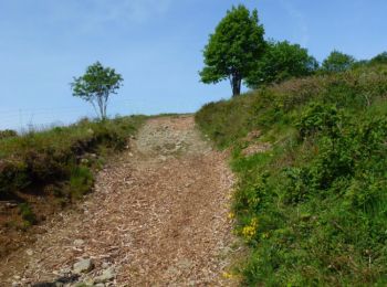
• Ballade accessible à tous

Stappen
•
Stappen
Stappen

Noords wandelen
Stappen
Stappen

Stappen

Te voet
Stappen

Stappen
Stappen
Stappen
Stappen
Stappen
20 tochten weergegeven op 406
Gratisgps-wandelapplicatie
 SityTrail
IGN / Geografische instituten
SityTrail World
De wereld gaat voor u open