


5,9 km | 6,3 km-effort
Oupeye: Ontdek de beste tochten: 168 te voet, 11 met de fiets of mountainbike en 17 te paard. Al deze tochten, trajecten, routes en outdoor activiteiten zijn beschikbaar in onze SityTrail-apps voor smartphones en tablets.
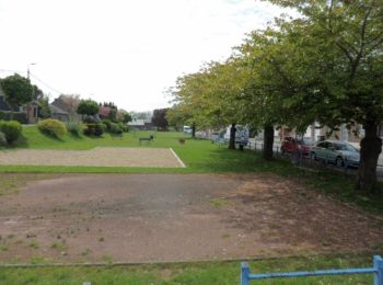
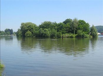
Stappen


Stappen
Stappen

Stappen
Stappen
Stappen
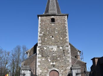
Te voet
• Trail created by Commune d'Oupeye.
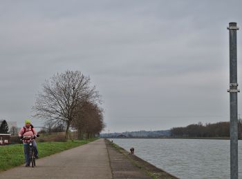
Te voet
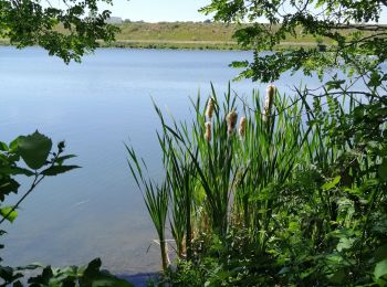
• Le massif calcaire de la Montagne Saint-Pierre se situe à la frontière des Pays-Bas, de la Flandre et de la Wallonie....

Stappen
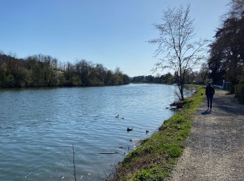
• Belle promenade facile et variée.
Stappen
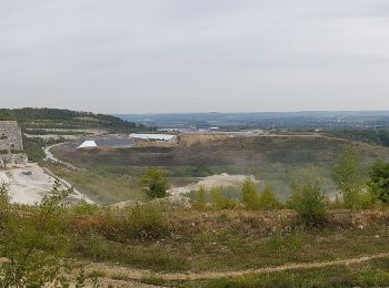
Te voet
• Le massif calcaire de la Montagne Saint-Pierre se situe à la frontière des Pays-Bas, de la Flandre et de la Wallonie....
Stappen
Stappen

Trail
Stappen
Stappen
Stappen
Stappen
• 90 % de remembrement bétonée
Mountainbike
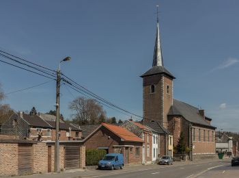
Stappen
• Petite visite de Hermalle Sous Argenteau. Balade à pied, possibilité de suivre le parcours à vélo. 1* kljlkjlkjjkljl...
20 tochten weergegeven op 200
Gratisgps-wandelapplicatie
 SityTrail
IGN / Geografische instituten
SityTrail World
De wereld gaat voor u open