


7,4 km | 13,7 km-effort
Arâches-la-Frasse: Ontdek de beste tochten: 56 te voet, 6 met de fiets of mountainbike en 1 te paard. Al deze tochten, trajecten, routes en outdoor activiteiten zijn beschikbaar in onze SityTrail-apps voor smartphones en tablets.
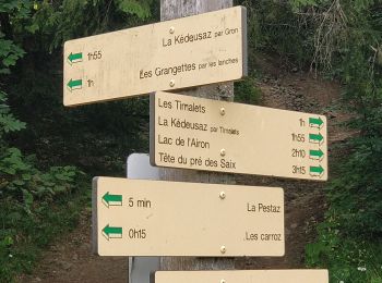
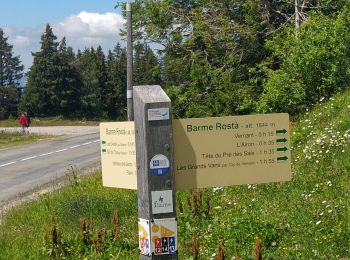
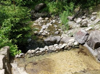
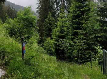
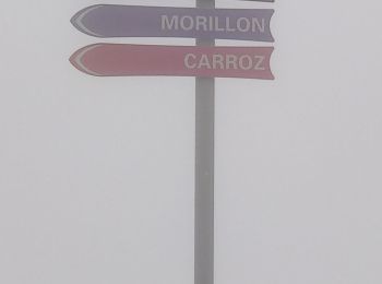
Stappen


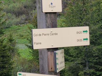
Stappen

Stappen
Stappen

Stappen
Stappen
Stappen
Stappen
Stappen

Stappen
Stappen

Stappen
Stappen
Stappen
Stappen
Stappen
Stappen
• Difficile
Stappen
• difficultés moyennes

Stappen
Stappen
20 tochten weergegeven op 79
Gratisgps-wandelapplicatie
 SityTrail
IGN / Geografische instituten
SityTrail World
De wereld gaat voor u open