


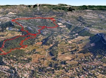
21 km | 26 km-effort
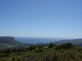
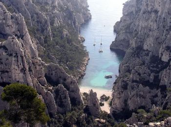
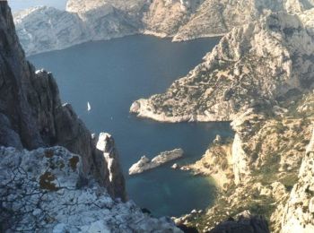
Cassis: Ontdek de beste tochten: 352 te voet en 57 met de fiets of mountainbike. Al deze tochten, trajecten, routes en outdoor activiteiten zijn beschikbaar in onze SityTrail-apps voor smartphones en tablets.
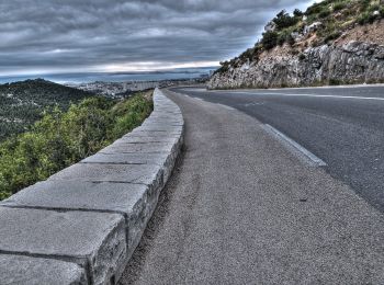
Wegfiets


Stappen
Stappen
Stappen

Stappen
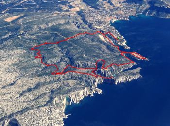
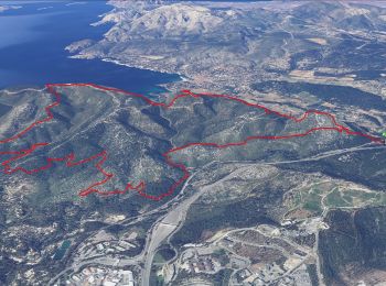
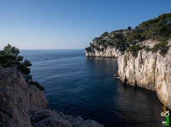
• Je vous propose une traversée des Calanques sur deux jours. 1er jour départ de port Miou jusqu'à Morgiou. Col l'Oule ...
Stappen
Stappen
Stappen
• Les rampides - Tunnel de Colongue - Baou redon - Mont Gibaou - Colongue
Stappen
Stappen
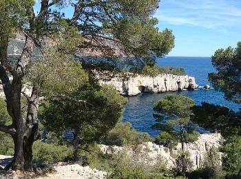
Te voet

Stappen
Stappen

Te voet

Stappen
Stappen
Stappen
Stappen
Te voet
Te voet
20 tochten weergegeven op 440
Gratisgps-wandelapplicatie
 SityTrail
IGN / Geografische instituten
SityTrail World
De wereld gaat voor u open