


4,4 km | 6,8 km-effort
Urdos: Ontdek de beste tochten: 37 te voet. Al deze tochten, trajecten, routes en outdoor activiteiten zijn beschikbaar in onze SityTrail-apps voor smartphones en tablets.
Te voet


• Trail created by Communauté de Communes du Haut-Béarn. Randonnée très facile 1h30 boucle Website: https://umap.op...
Te voet
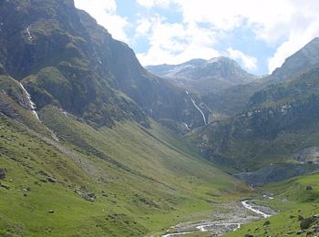
• Trail created by Parc National des Pyrénées.
Te voet
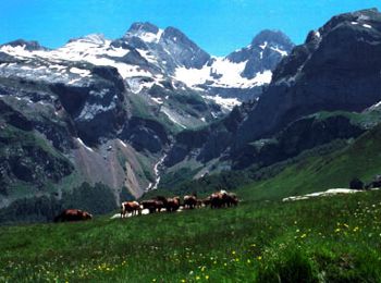
• Trail created by Parc National des Pyrénées.
Te voet
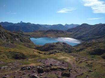
• Trail created by Parc National des Pyrénées. Website: https://umap.openstreetmap.fr/fr/map/refonte-plan-local-de-r...
Te voet
• Trail created by Parc National des Pyrénées. Website: https://umap.openstreetmap.fr/fr/map/refonte-plan-local-de-r...
Stappen
Stappen
Stappen
Stappen
Stappen

Te voet
• Trail created by Parc National des Pyrénées.
Stappen

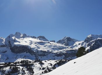
Sneeuwschoenen
Andere activiteiten
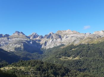
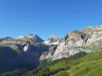
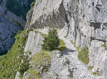
• randonnée montagne
Stappen
Stappen
Stappen
Stappen
Trail
Sneeuwschoenen
20 tochten weergegeven op 42
Gratisgps-wandelapplicatie
 SityTrail
IGN / Geografische instituten
SityTrail World
De wereld gaat voor u open