


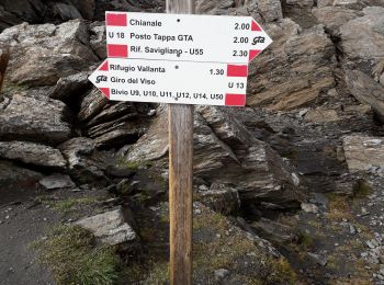
14,1 km | 28 km-effort
Pontechianale: Ontdek de beste tochten: 32 te voet. Al deze tochten, trajecten, routes en outdoor activiteiten zijn beschikbaar in onze SityTrail-apps voor smartphones en tablets.
Te voet


• Sentiero Italia CAI 2019

Stappen
Stappen
Stappen
Stappen

Stappen
Stappen

Stappen

Stappen
Stappen

 19.098
sport
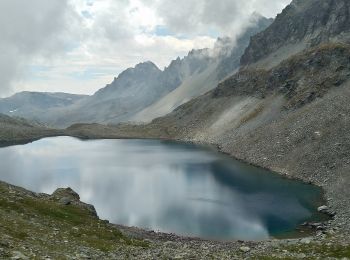
• dantesque !!!
19.098
sport
• dantesque !!!
Stappen
Stappen
Stappen
Stappen

Sneeuwschoenen
Stappen
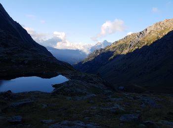
• Belvédère sur le mont Viso
Stappen
Stappen
20 tochten weergegeven op 35
Gratisgps-wandelapplicatie
 SityTrail
IGN / Geografische instituten
SityTrail World
De wereld gaat voor u open