


19,3 km | 21 km-effort
Fossano: Ontdek de beste tochten: 3 te voet. Al deze tochten, trajecten, routes en outdoor activiteiten zijn beschikbaar in onze SityTrail-apps voor smartphones en tablets.
Te voet


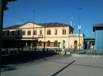
• Il sito del Turismo di Fossano e del Fossanese. Eventi, esperienze di viaggio, cicloturismo, hotel e ristoranti, oppo...
Te voet
• Il sito del Turismo di Fossano e del Fossanese. Eventi, esperienze di viaggio, cicloturismo, hotel e ristoranti, oppo...

Te voet
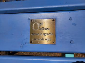
• Trail created by Camminatura. Symbol: white bar on red background
3 tochten weergegeven op 3
Gratisgps-wandelapplicatie
 SityTrail
IGN / Geografische instituten
SityTrail World
De wereld gaat voor u open