


4,9 km | 9,2 km-effort
Limone Piemonte: Ontdek de beste tochten: 16 te voet en 3 met de fiets of mountainbike. Al deze tochten, trajecten, routes en outdoor activiteiten zijn beschikbaar in onze SityTrail-apps voor smartphones en tablets.
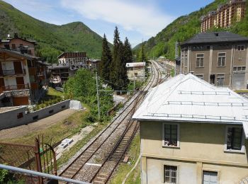
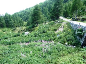
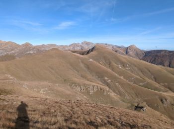
Te voet


• Website: https://www.bwebmap.it/maps/limoneOutdoor/

Te voet
• Symbol: some old white red flags

Te voet
• Sentiero Italia CAI 2019

Stappen
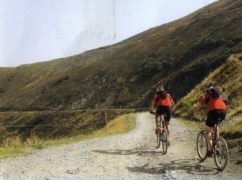
Mountainbike
Stappen

Stappen

Mountainbike
Mountainbike
4x4
Stappen
Stappen
Stappen
Stappen
Stappen
Stappen
Stappen

Andere activiteiten

Motor
Andere activiteiten
20 tochten weergegeven op 24
Gratisgps-wandelapplicatie
 SityTrail
IGN / Geografische instituten
SityTrail World
De wereld gaat voor u open