


10,5 km | 15,1 km-effort
Wellin: Ontdek de beste tochten: 5 fiets, 2 wegfiets, 19 mountainbike, 1 hybride fiets en 4 elektrische fiets. Al deze tochten, trajecten, routes en outdoor activiteiten zijn beschikbaar in onze SityTrail-apps voor smartphones en tablets.

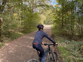
Mountainbike


• Trail created by Forêt de Saint-Hubert.
Mountainbike
• Trail created by Forêt de Saint-Hubert.
Elektrische fiets
Elektrische fiets
Elektrische fiets
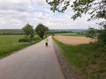
Fiets
Mountainbike
Mountainbike
• Geopark Wellin
Elektrische fiets
Mountainbike
Mountainbike
Mountainbike
Fiets
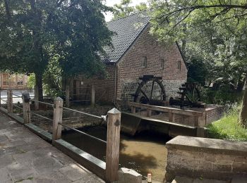
• On débute à l'Eglise d'Halma et on remonte la Lesse jusqu'au moulin de Daverdisse en empruntant une ancienne voie vic...
Mountainbike
Mountainbike
Mountainbike
Mountainbike
Mountainbike
Mountainbike
Mountainbike
20 tochten weergegeven op 30
Gratisgps-wandelapplicatie
 SityTrail
IGN / Geografische instituten
SityTrail World
De wereld gaat voor u open