


32 km | 45 km-effort
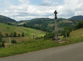
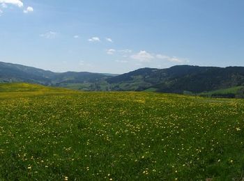
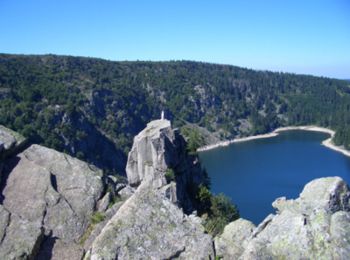
Le Bonhomme: Ontdek de beste tochten: 11 mountainbike en 2 elektrische fiets. Al deze tochten, trajecten, routes en outdoor activiteiten zijn beschikbaar in onze SityTrail-apps voor smartphones en tablets.
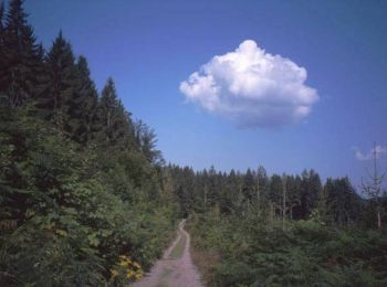
Mountainbike


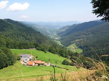
Mountainbike

Mountainbike
Mountainbike

Mountainbike
Mountainbike
Mountainbike
Mountainbike

Mountainbike
Mountainbike
Elektrische fiets
Mountainbike
Mountainbike
13 tochten weergegeven op 12
Gratisgps-wandelapplicatie
 SityTrail
IGN / Geografische instituten
SityTrail World
De wereld gaat voor u open