


appeville

MichelRando7656
Gebruiker
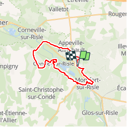

Lengte
23 km

Max. hoogte
121 m

Positief hoogteverschil
451 m
Km-Effort
29 km

Min. hoogte
15 m

Negatief hoogteverschil
451 m
Boucle
Ja
Datum van aanmaak :
2019-04-29 10:39:32.885
Laatste wijziging :
2019-04-29 10:39:32.999
5h06
Moeilijkheid : Medium

Gratisgps-wandelapplicatie
 SityTrail
IGN / Geografische instituten
SityTrail Plus
De wereld gaat voor u open
Over ons
Tocht Stappen van 23 km beschikbaar op Normandië, Eure, Appeville-Annebault. Deze tocht wordt voorgesteld door MichelRando7656.
Beschrijving
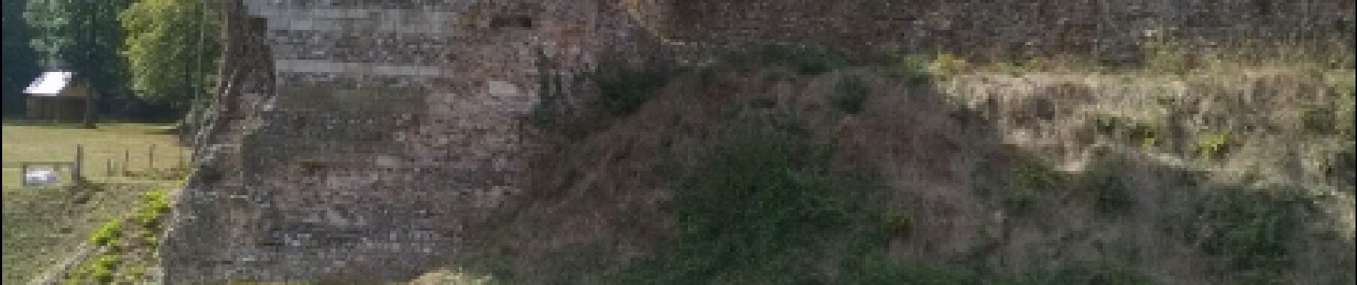
chemins sous-bois
Foto's


Plaatsbepaling
Land:
France
Regio :
Normandië
Departement/Provincie :
Eure
Gemeente :
Appeville-Annebault
Locatie:
Unknown
Vertrek:(Dec)
Vertrek:(UTM)
329194 ; 5464664 (31U) N.
Opmerkingen