


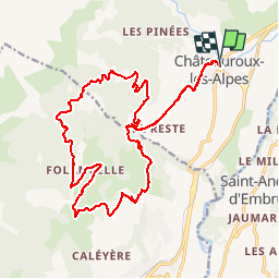
circuit N°29 Châteauroux les alpes

guariso
Gebruiker

Lengte
23 km

Max. hoogte
1805 m

Positief hoogteverschil
944 m
Km-Effort
36 km

Min. hoogte
990 m

Negatief hoogteverschil
958 m
Boucle
Ja
Datum van aanmaak :
2018-09-22 21:35:54.66
Laatste wijziging :
2018-09-22 21:35:54.66
1h47
Moeilijkheid : Medium

Gratisgps-wandelapplicatie
 SityTrail
IGN / Geografische instituten
SityTrail Plus
De wereld gaat voor u open
Over ons
Tocht Mountainbike van 23 km beschikbaar op Provence-Alpes-Côte d'Azur, Hautes-Alpes, Châteauroux-les-Alpes. Deze tocht wordt voorgesteld door guariso.
Beschrijving
circuit physique mais sans difficulté technique (sauf une petite montée) sinon très sympa comme circuit...
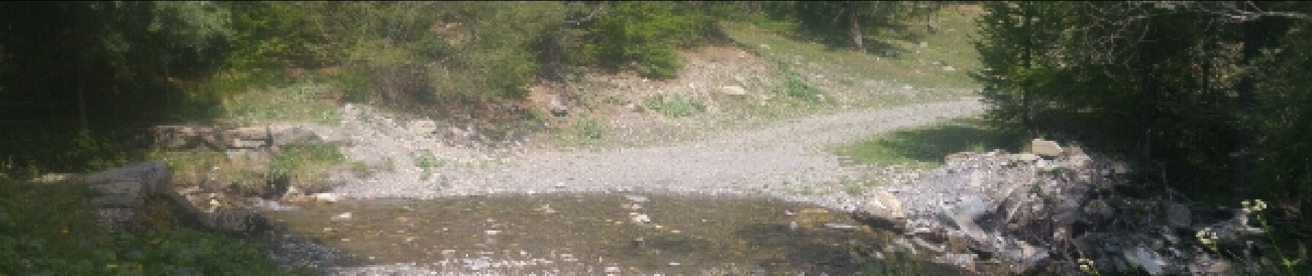
Foto's


Plaatsbepaling
Land:
France
Regio :
Provence-Alpes-Côte d'Azur
Departement/Provincie :
Hautes-Alpes
Gemeente :
Châteauroux-les-Alpes
Locatie:
Unknown
Vertrek:(Dec)
Vertrek:(UTM)
303295 ; 4943149 (32T) N.
Opmerkingen