


SVG-180907

randodan
Gebruiker
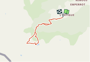

Lengte
8,1 km

Max. hoogte
1946 m

Positief hoogteverschil
773 m
Km-Effort
18,4 km

Min. hoogte
1182 m

Negatief hoogteverschil
773 m
Boucle
Ja
Datum van aanmaak :
2019-01-15 15:53:18.15
Laatste wijziging :
2019-01-15 15:53:18.15
5h48
Moeilijkheid : Onbekend

Gratisgps-wandelapplicatie
 SityTrail
IGN / Geografische instituten
SityTrail Plus
De wereld gaat voor u open
Over ons
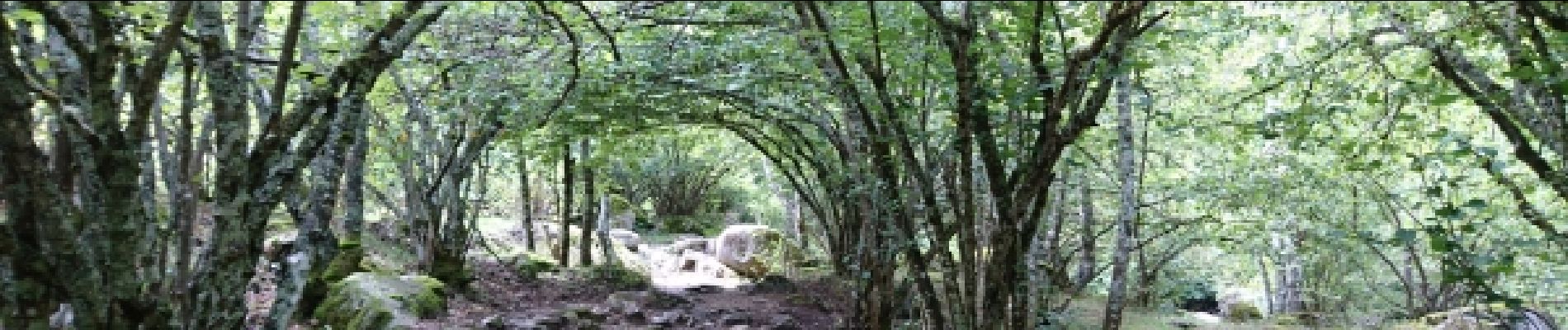
Tocht Stappen van 8,1 km beschikbaar op Occitanië, Ariège, Auzat. Deze tocht wordt voorgesteld door randodan.
Foto's


Plaatsbepaling
Land:
France
Regio :
Occitanië
Departement/Provincie :
Ariège
Gemeente :
Auzat
Locatie:
Unknown
Vertrek:(Dec)
Vertrek:(UTM)
371009 ; 4729842 (31T) N.
Opmerkingen