


SVG-180908

randodan
Gebruiker
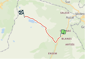

Lengte
7,6 km

Max. hoogte
1672 m

Positief hoogteverschil
890 m
Km-Effort
16,7 km

Min. hoogte
832 m

Negatief hoogteverschil
68 m
Boucle
Neen
Datum van aanmaak :
2019-01-15 16:04:38.027
Laatste wijziging :
2019-01-15 16:04:38.027
6h41
Moeilijkheid : Onbekend

Gratisgps-wandelapplicatie
 SityTrail
IGN / Geografische instituten
SityTrail Plus
De wereld gaat voor u open
Over ons
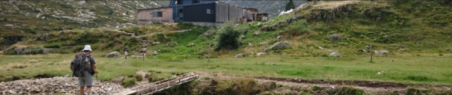
Tocht Stappen van 7,6 km beschikbaar op Occitanië, Ariège, Auzat. Deze tocht wordt voorgesteld door randodan.
Foto's


25 fotos in totaal. Klik op een foto om ze allemaal in de galerij weer te geven.
Plaatsbepaling
Land:
France
Regio :
Occitanië
Departement/Provincie :
Ariège
Gemeente :
Auzat
Locatie:
Unknown
Vertrek:(Dec)
Vertrek:(UTM)
374369 ; 4733571 (31T) N.
Opmerkingen