


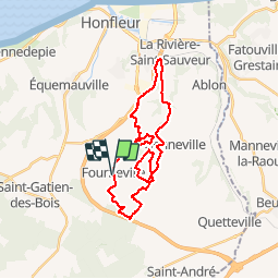

21 km | 27 km-effort

Gebruiker


Gratisgps-wandelapplicatie
 SityTrail
IGN / Geografische instituten
SityTrail World
De wereld gaat voor u open
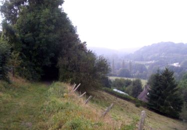
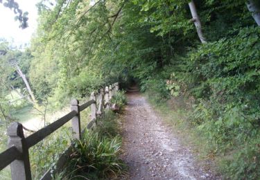
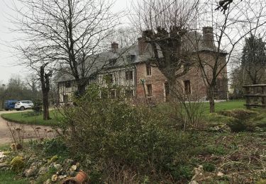
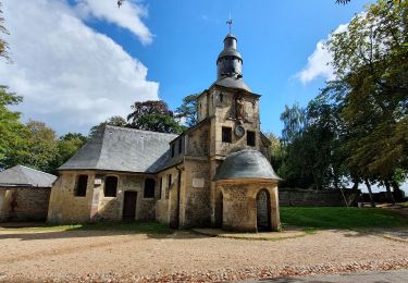
Tocht Stappen van 26 km beschikbaar op Normandië, Calvados, Fourneville. Deze tocht wordt voorgesteld door tracegps.
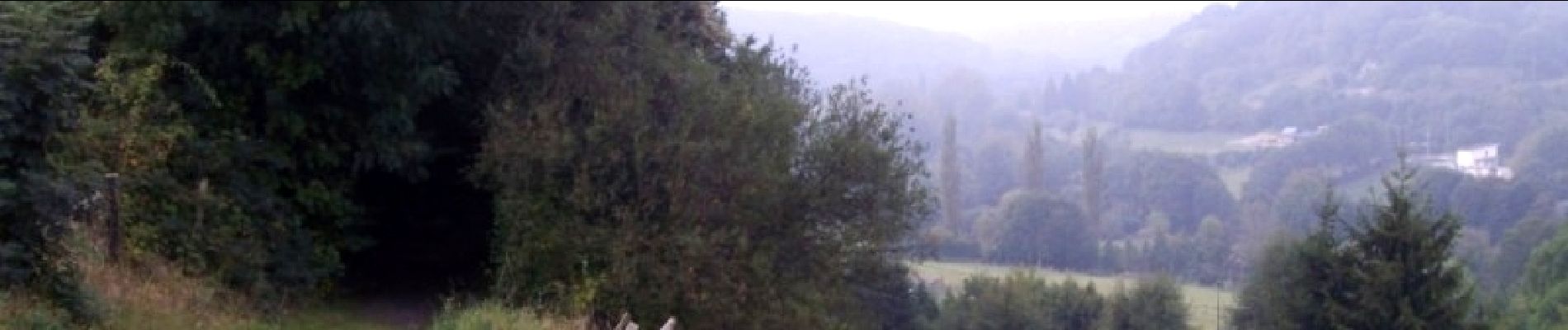
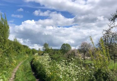
Encore une fois parcours superbe, assez facile pour les vététistes. kiff: 6 paysages: 8 crampe : 5 technique : 4


Stappen
Te voet
Stappen

Te voet
Mountainbike

Mountainbike
Stappen
Hybride fiets
Stappen