


SVG-180912

randodan
Gebruiker
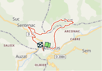

Lengte
8,4 km

Max. hoogte
1016 m

Positief hoogteverschil
336 m
Km-Effort
12,9 km

Min. hoogte
706 m

Negatief hoogteverschil
336 m
Boucle
Ja
Datum van aanmaak :
2019-01-15 16:09:03.551
Laatste wijziging :
2019-01-15 16:09:03.551
4h23
Moeilijkheid : Onbekend

Gratisgps-wandelapplicatie
 SityTrail
IGN / Geografische instituten
SityTrail Plus
De wereld gaat voor u open
Over ons
Tocht Stappen van 8,4 km beschikbaar op Occitanië, Ariège, Val-de-Sos. Deze tocht wordt voorgesteld door randodan.
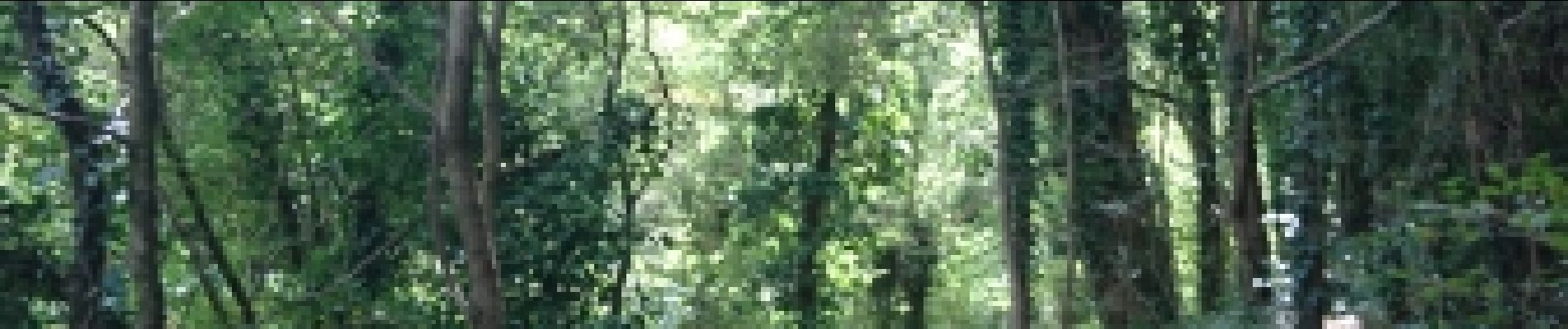
Foto's


Plaatsbepaling
Land:
France
Regio :
Occitanië
Departement/Provincie :
Ariège
Gemeente :
Val-de-Sos
Locatie:
Unknown
Vertrek:(Dec)
Vertrek:(UTM)
376717 ; 4736122 (31T) N.
Opmerkingen