


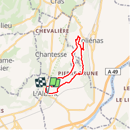

11,5 km | 17,6 km-effort


Gebruiker


Gratisgps-wandelapplicatie
 SityTrail
IGN / Geografische instituten
SityTrail World
De wereld gaat voor u open
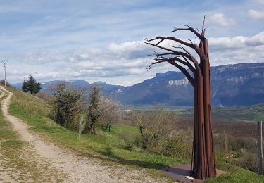
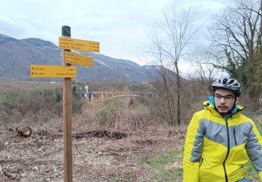
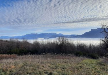
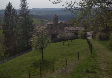
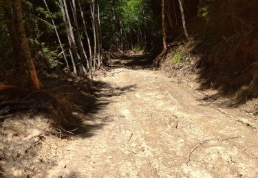
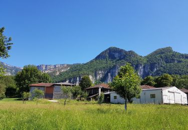
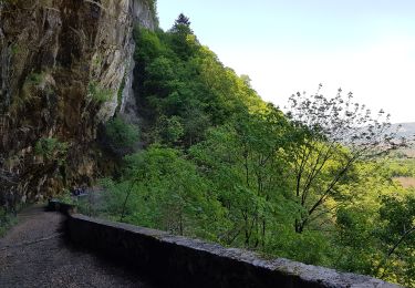
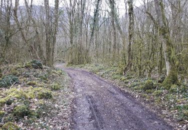
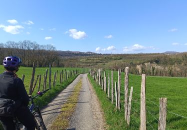
Tocht Mountainbike van 10,5 km beschikbaar op Auvergne-Rhône-Alpes, Isère, L'Albenc. Deze tocht wordt voorgesteld door popo38.
petite balade en vtt dans les sous-bois..des arbres en travers m'ont empêcher de continuer la boucle..dommage..


Stappen
Mountainbike
Stappen
Stappen
Stappen
Stappen
Stappen
Stappen
Mountainbike