


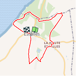

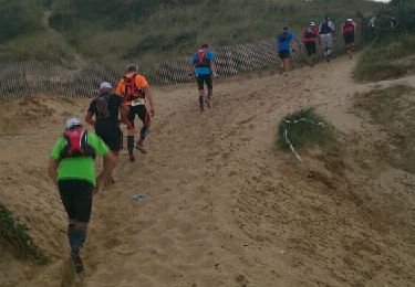
14,3 km | 0 m-effort

Gebruiker


Gratisgps-wandelapplicatie
 SityTrail
IGN / Geografische instituten
SityTrail World
De wereld gaat voor u open
Tocht Stappen van 7,8 km beschikbaar op Hauts-de-France, Pas-de-Calais, Skoale. Deze tocht wordt voorgesteld door tracegps.
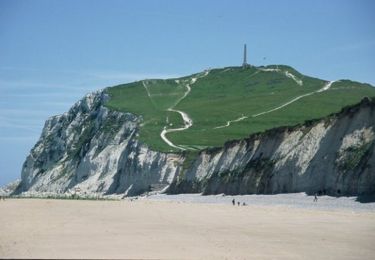
Circuit proposé par la Communauté de communes du Sud-Ouest du Calaisis. Départ de la mairie d’Escalles. Ce circuit a été numérisé par les randonneurs du CODEPEM. Merci à Jean-Marie.


Stappen
Stappen

Stappen

Stappen
Stappen

Stappen
Stappen
Stappen
Lopen
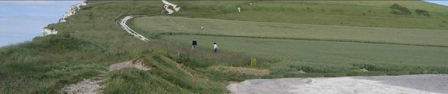
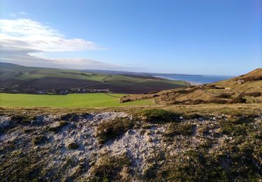
Sentier en bord de falaises entre le cap blanc nez et Escalles non accessible. Un nouveau sentier existe.
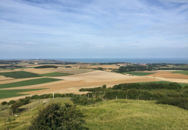
Superbe randonnée
sympathique même en famille