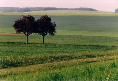
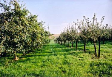
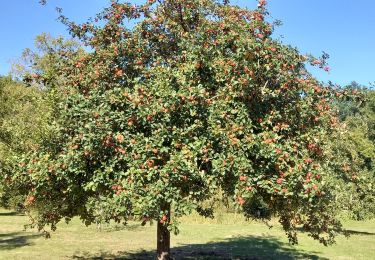
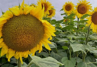
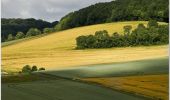
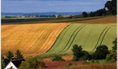
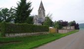
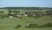
Tocht Stappen Eaux-Puiseaux - Circuit des trois Monts - Eaux-Puiseaux - Photo

Circuit des trois Monts - Eaux-Puiseaux

 tracegps
tracegps

Gebruiker

© OpenStreetMap contributors
Lengte
Lengte
14,7 km
Max. hoogte
Max. hoogte
291 m
Positief hoogteverschil
320 m
Km-Effort
Km-Effort  
19 km
Min. hoogte
Min. hoogte
144 m
Negatief hoogteverschil
321 m
Boucle
Boucle
Ja
Datum van aanmaak :
2014-12-10 00:00:00.0
Laatste wijziging :
2014-12-10 00:00:00.0

(0 Bericht)

Stappen
Stappen
3h45
Moeilijkheid : Zeer moeilijk

Scan deze QR-code om de tocht te openen in de SityTrail-applicatie

Gratisgps-wandelapplicatie

Logo SityTrail SityTrail

IGN / Geografische instituten

SityTrail uit de App Store downloaden SityTrail uit Google Play downloaden

Logo SityTrail SityTrail World

De wereld gaat voor u open

SityTrail uit de App Store downloaden SityTrail uit Google Play downloaden SityTrail op Huawei AppGallery downloaden

Over ons

Tocht Stappen van 14,7 km beschikbaar op Grand Est, Aube, Eaux-Puiseaux. Deze tocht wordt voorgesteld door tracegps.

Beschrijving

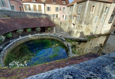
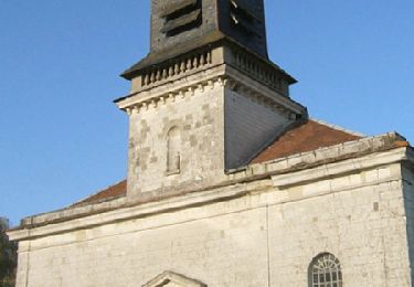
Circuit proposé par l’Office du Tourisme du Chaourçois en Pays d’Armance. Départ de la « Ferme du clocher » à Eaux-Puiseaux. Le circuit traverse 3 villages : Eaux-Puiseaux : Plus jeune commune du département puisque créée en 1849 par la réunification de 5 hameaux (Eaux, Chêne Millot, Puiseaux, les Bordes et le Four), Eaux en Puisseaux était autrefois un village d’agriculteurs, de vignerons et de bûcherons qui a compté jusqu’à 900 Habitants. Auxon : Au pied du massif forestier du pays d’Othe, sur un habitat Gallo-Romain, la commune tire ses activités des produits agricoles et para-agricoles. L’église St Loup fut édifiée sur une élévation dans la 1ère moitié du 16e siècle. Montigny Les Monts : Le village est traversé par son ru dont la source se situe au-dessus du moulin à l’entrée du village. Un lavoir a été récemment restauré. L’église St Nicolas, construite en 1854, présente l’apparence d’une chapelle. Retrouvez ce circuit sur le site de l’Office du Tourisme.

Hoogteprofiel

Foto's

Plaatsbepaling

Land:
France
Regio :
Grand Est
Departement/Provincie :
Aube
Gemeente :
Eaux-Puiseaux
Locatie:
Unknown
Vertrek:(Dec)
Vertrek:(UTM)
566205 ; 5330355 (31U) N.

Wandeltochten in de omgeving

Tocht Wegfiets Auxon - EXT80 Auxon-01 - Photo
Wegfiets
Specialized77

Wegfiets

Gemakkelijk
Auxon, Grand Est, Aube, France
79 km | 91 km-effort
3h 30min
Ja
Tocht Stappen Maraye-en-Othe - Les Boulins - Photo
Stappen
FPortier

Stappen

Gemakkelijk
Maraye-en-Othe, Grand Est, Aube, France
8,9 km | 10,8 km-effort
2h 21min
Ja
Tocht Stappen Maraye-en-Othe - Maraye (11+13km) le 21/07/2020 - Photo
Stappen
francis1952

Stappen

Medium
Maraye-en-Othe, Grand Est, Aube, France
25 km | 30 km-effort
5h 14min
Ja
Tocht Stappen Montigny-les-Monts - Circuit de Coulore - Montigny-les-Monts - Photo
Stappen
tracegps

Stappen

Medium
Montigny-les-Monts, Grand Est, Aube, France
8,4 km | 9,7 km-effort
2h 4min
Ja
Tocht Stappen Maraye-en-Othe - Le circuit des Voirloups - Maraye-en-Othe - Photo
Stappen
tracegps

Stappen

Zeer moeilijk
(1)
Maraye-en-Othe, Grand Est, Aube, France
19,1 km | 24 km-effort
4h 49min
Ja
Tocht Stappen Maraye-en-Othe - Les Vergers de Champcharme - Maraye-en-Othe - Photo
Stappen
tracegps

Stappen

Moeilijk
Maraye-en-Othe, Grand Est, Aube, France
14,3 km | 18,6 km-effort
3h 34min
Ja
Tocht Stappen Maraye-en-Othe - Maraye,Nogent,Vosnon,Puiseaux,Chenu,Chamsicourt - Photo
Stappen
francis1952

Stappen

Moeilijk
Maraye-en-Othe, Grand Est, Aube, France
31 km | 39 km-effort
6h 11min
Ja
Tocht Stappen Maraye-en-Othe - Maraye 26km le 08.10.2021 - Photo
Stappen
francis1952

Stappen

Moeilijk
Maraye-en-Othe, Grand Est, Aube, France
26 km | 32 km-effort
5h 27min
Ja
Tocht Stappen Maraye-en-Othe - Maraye GRBA 11,5km le 05.08.2021 - Photo
Stappen
francis1952

Stappen

Medium
Maraye-en-Othe, Grand Est, Aube, France
11,5 km | 14,5 km-effort
2h 44min
Ja


Sluiten
Mijn abonnementen