


GLM-120718 - HouxFranchard

randodan
Gebruiker
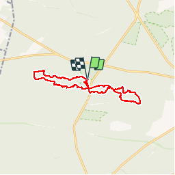

Lengte
14,7 km

Max. hoogte
141 m

Positief hoogteverschil
179 m
Km-Effort
17,1 km

Min. hoogte
90 m

Negatief hoogteverschil
181 m
Boucle
Ja
Datum van aanmaak :
2014-12-10 00:00:00.0
Laatste wijziging :
2014-12-10 00:00:00.0
6h35
Moeilijkheid : Medium

Gratisgps-wandelapplicatie
 SityTrail
IGN / Geografische instituten
SityTrail Plus
De wereld gaat voor u open
Over ons
Tocht Stappen van 14,7 km beschikbaar op Île-de-France, Seine-et-Marne, Fontainebleau. Deze tocht wordt voorgesteld door randodan.
Beschrijving
Les Gais Lurons du Mercredi.
18 juillet 2012.
Départ parking Franchard.
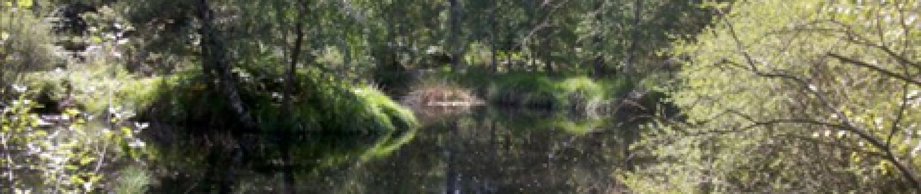
Platières des Gorges du Houx,
Mare aux Pigeons,
Gorges de Franchard.
Foto's


Plaatsbepaling
Land:
France
Regio :
Île-de-France
Departement/Provincie :
Seine-et-Marne
Gemeente :
Fontainebleau
Locatie:
Unknown
Vertrek:(Dec)
Vertrek:(UTM)
473094 ; 5361826 (31U) N.
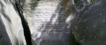
Opmerkingen