


andra 23-8-2012 44km

guariso
Gebruiker
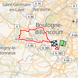

Lengte
45 km

Max. hoogte
184 m

Positief hoogteverschil
650 m
Km-Effort
53 km

Min. hoogte
41 m

Negatief hoogteverschil
654 m
Boucle
Ja
Datum van aanmaak :
2014-12-10 00:00:00.0
Laatste wijziging :
2014-12-10 00:00:00.0
4h17
Moeilijkheid : Medium

Gratisgps-wandelapplicatie
 SityTrail
IGN / Geografische instituten
SityTrail Plus
De wereld gaat voor u open
Over ons
Tocht Mountainbike van 45 km beschikbaar op Île-de-France, Hauts-de-Seine, Châtenay-Malabry. Deze tocht wordt voorgesteld door guariso.
Beschrijving
Ballade à vélo alternant ville (routes et pistes cyclables) et parcs ou forets.
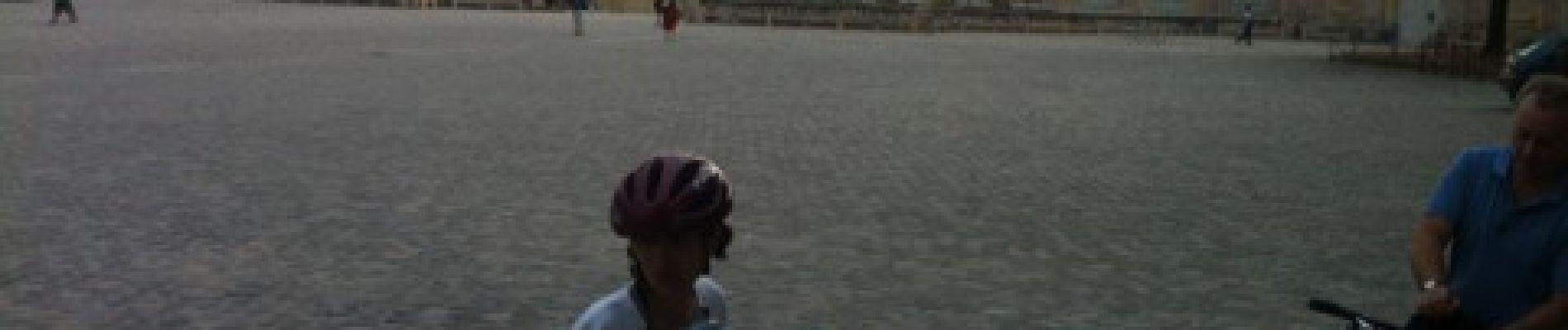
Foto's


Plaatsbepaling
Land:
France
Regio :
Île-de-France
Departement/Provincie :
Hauts-de-Seine
Gemeente :
Châtenay-Malabry
Locatie:
Unknown
Vertrek:(Dec)
Vertrek:(UTM)
447461 ; 5402254 (31U) N.
Opmerkingen