


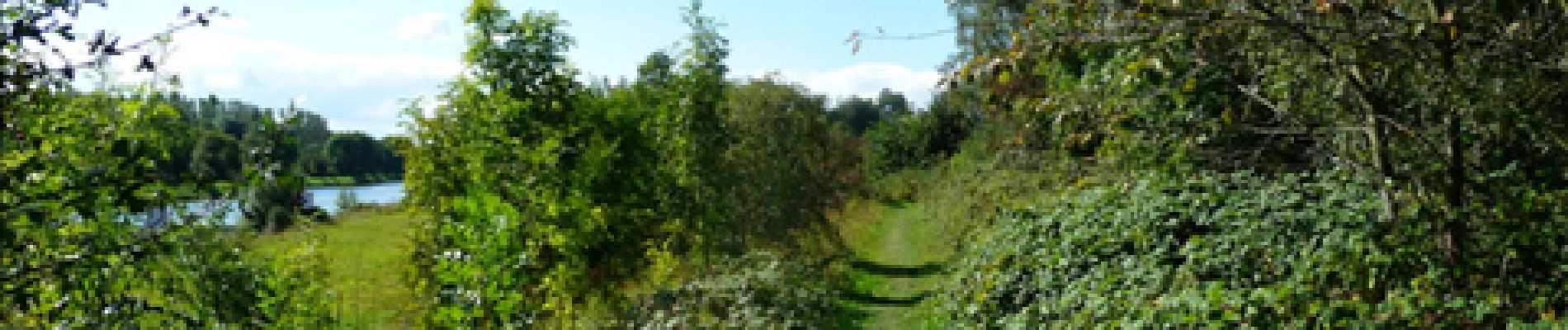
De Pont à Celles à Gouy-lez-Piétons

Desrumaux
Gebruiker GUIDE
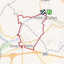

Lengte
13,6 km

Max. hoogte
167 m

Positief hoogteverschil
126 m
Km-Effort
15,3 km

Min. hoogte
120 m

Negatief hoogteverschil
126 m
Boucle
Ja
Datum van aanmaak :
2014-12-10 00:00:00.0
Laatste wijziging :
2014-12-10 00:00:00.0
3h20
Moeilijkheid : Gemakkelijk
Gratisgps-wandelapplicatie
 SityTrail
IGN / Geografische instituten
SityTrail Plus
De wereld gaat voor u open
Over ons
Tocht Stappen van 13,6 km beschikbaar op Wallonië, Henegouwen, Pont-à-Celles. Deze tocht wordt voorgesteld door Desrumaux.
Beschrijving
Détails de la rando sur le site TraceGPS.com http://www.tracegps.com/fr/parcours/circuit14203.htm
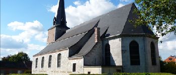
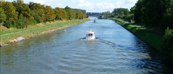
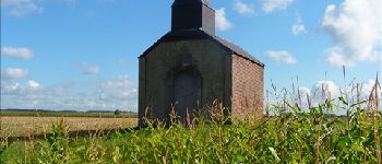
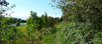
Foto's


Plaatsbepaling
Land:
Belgium
Regio :
Wallonië
Departement/Provincie :
Henegouwen
Gemeente :
Pont-à-Celles
Locatie:
Pont-à-Celles
Vertrek:(Dec)
Vertrek:(UTM)
596554 ; 5596487 (31U) N.
Opmerkingen