


Aveyron-121016 - Cordes-SentierBleu (txt,gps,foto)

randodan
Gebruiker
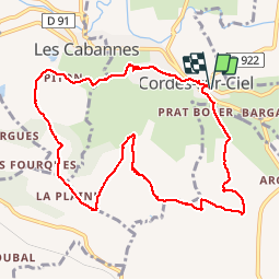

Lengte
12,5 km

Max. hoogte
306 m

Positief hoogteverschil
333 m
Km-Effort
17 km

Min. hoogte
171 m

Negatief hoogteverschil
333 m
Boucle
Ja
Datum van aanmaak :
2014-12-10 00:00:00.0
Laatste wijziging :
2014-12-10 00:00:00.0
5h11
Moeilijkheid : Onbekend

Gratisgps-wandelapplicatie
 SityTrail
IGN / Geografische instituten
SityTrail Plus
De wereld gaat voor u open
Over ons
Tocht Stappen van 12,5 km beschikbaar op Occitanië, Tarn, Cordes-sur-Ciel. Deze tocht wordt voorgesteld door randodan.
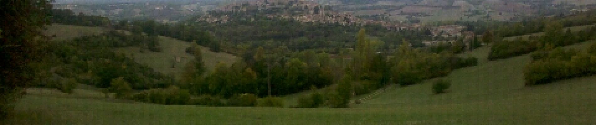
Foto's
 - Photo 1")
 - Photo 2")
 - Photo 3")
 - Photo 4")
 - Photo 5")
 - Photo 6")
 - Photo 7")
 - Photo 8")
 - Photo 9")
 - Photo 10")
Plaatsbepaling
Land:
France
Regio :
Occitanië
Departement/Provincie :
Tarn
Gemeente :
Cordes-sur-Ciel
Locatie:
Unknown
Vertrek:(Dec)
Vertrek:(UTM)
416739 ; 4879272 (31T) N.
Opmerkingen