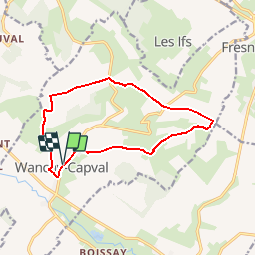
Circuit de Wanchy - Capval

tracegps
Gebruiker


2h55
Moeilijkheid : Medium

Gratisgps-wandelapplicatie
 SityTrail
IGN / Geografische instituten
SityTrail Plus
De wereld gaat voor u open
Over ons
Tocht Stappen van 11,6 km beschikbaar op Normandië, Seine-Maritime, Wanchy-Capval. Deze tocht wordt voorgesteld door tracegps.
Beschrijving
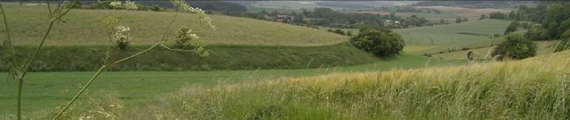
Circuit proposé par le syndicat d'initiative de Londinières. Départ de l'église Saint-Pierre (XI, XVIIème siècles) qui est précédée d'un porche dont l'encadrement Renaissance est ornée de 3 bustes représentant, un homme, une femme et un ange. Wanchy possède 4 croix monolithiques, probablement d'anciens menhirs taillés et une motte féodale qui fut la base d'un château seigneurial.
Foto's


Plaatsbepaling
Opmerkingen