


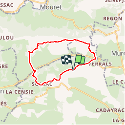

11 km | 12,6 km-effort


Gebruiker


Gratisgps-wandelapplicatie
 SityTrail
IGN / Geografische instituten
SityTrail World
De wereld gaat voor u open
Tocht Stappen van 11,4 km beschikbaar op Occitanië, Aveyron, Salles-la-Source. Deze tocht wordt voorgesteld door jmpu.
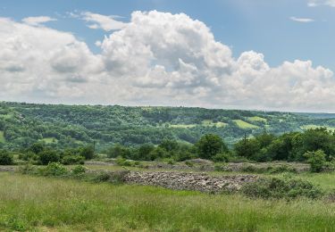
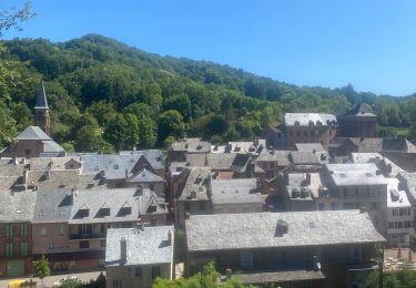
Départ randonnée: Village MONDALAZAC (aveyron).
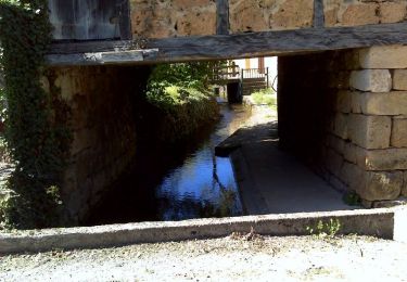
Se diriger à l'Ouest, passer par BILLORGUES, SOLSAC et amorcer la descente par un trés beau sentier pour rejoindre la Vallée du CRUOU.
Montée raide sur l'autre versant pour arriver au Grand MAS. Continuer sur le plateau en passant par CROUNET et revenir à MONDALAZAC avec une vue magnifique sur le Château du COLOMBIER en contrebas.
Te voet
Te voet

Te voet
Te voet
Te voet
Stappen
Elektrische fiets

Stappen

Mountainbike