


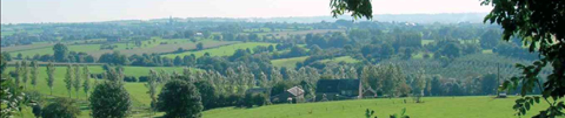
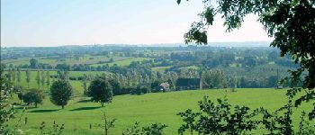
RB-Lg-04 - À travers le bocage aubelois

GR Rando (plus commercialisé)
Randonnez sur et autour des GR ® wallons (Sentiers de Grande Randonnée). PRO


5h28
Moeilijkheid : Medium

Gratisgps-wandelapplicatie
 SityTrail
IGN / Geografische instituten
SityTrail Plus
De wereld gaat voor u open
Over ons
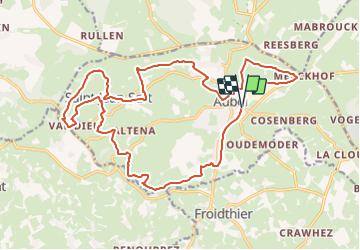
Tocht Stappen van 21 km beschikbaar op Wallonië, Luik, Aubel. Deze tocht wordt voorgesteld door GR Rando (plus commercialisé).
Beschrijving
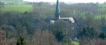
(Aubel, Messiter, Val-Dieu, Saint-Jean-Sart, Creft, Hellestrop, Aubel)
Cartographie et documentation
Carte IGN au 1 : 20 000, 42/3-4 « Dalhem – Herve ».
Topo-guide du GR 563 « Tour du Pays de Herve ».
Où se désaltérer et se restaurer.
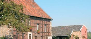
Nous avons déjà signalé les possibilités qu’offrait Val-Dieu.
À Aubel, vous trouverez un choix beaucoup plus varié de cafés et de restaurants. Le « Vieil Aubel », dont il a été question ci-dessus, sort du lot par son attrait architectural.
Foto's


POI's

Plaatsbepaling
Opmerkingen
pour une première utilisation...l'app...semble conviviale...à tester plus longuement...
Sehr schoene route