


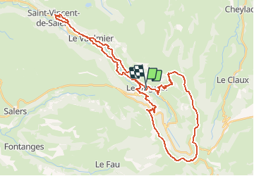
Le Falgoux - Pas de Peyrol

kipoura
Gebruiker

Lengte
46 km

Max. hoogte
1614 m

Positief hoogteverschil
1702 m
Km-Effort
68 km

Min. hoogte
696 m

Negatief hoogteverschil
1679 m
Boucle
Neen
Datum van aanmaak :
2018-08-17 16:09:50.201
Laatste wijziging :
2020-07-29 16:18:06.357
4h20
Moeilijkheid : Zeer moeilijk

Gratisgps-wandelapplicatie
 SityTrail
IGN / Geografische instituten
SityTrail Plus
De wereld gaat voor u open
Over ons
Tocht Mountainbike van 46 km beschikbaar op Auvergne-Rhône-Alpes, Cantal, Le Falgoux. Deze tocht wordt voorgesteld door kipoura.
Beschrijving
- Un circuit VTT vraiment trés hard, portage et poussette en veux tu en voilà ......
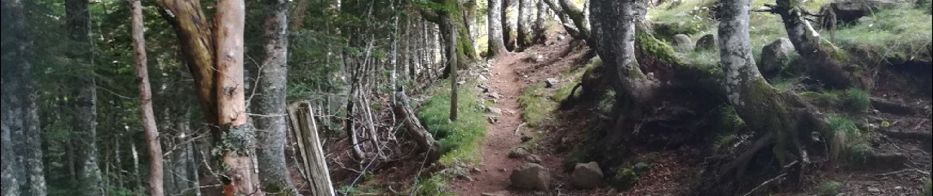
Foto's


Plaatsbepaling
Land:
France
Regio :
Auvergne-Rhône-Alpes
Departement/Provincie :
Cantal
Gemeente :
Le Falgoux
Locatie:
Unknown
Vertrek:(Dec)
Vertrek:(UTM)
470210 ; 5000052 (31T) N.
Opmerkingen