


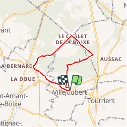
La randonnée de La Macarine

alainjoseph6
Gebruiker

Lengte
10,8 km

Max. hoogte
146 m

Positief hoogteverschil
105 m
Km-Effort
12,2 km

Min. hoogte
79 m

Negatief hoogteverschil
103 m
Boucle
Ja
Datum van aanmaak :
2018-10-04 12:01:19.387
Laatste wijziging :
2018-10-04 15:15:15.749
3h12
Moeilijkheid : Gemakkelijk

Gratisgps-wandelapplicatie
 SityTrail
IGN / Geografische instituten
SityTrail Plus
De wereld gaat voor u open
Over ons
Tocht Stappen van 10,8 km beschikbaar op Nieuw-Aquitanië, Charente, Villejoubert. Deze tocht wordt voorgesteld door alainjoseph6.
Beschrijving
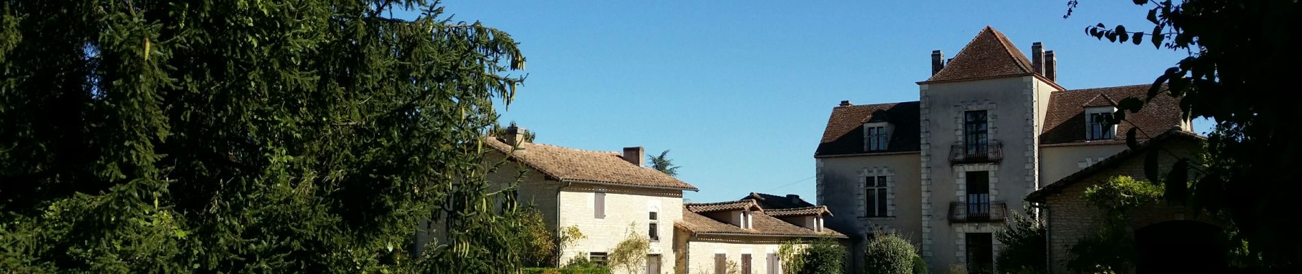
Superbe randonnée, très facile avec de magnifiques chemins. Le chemin du télégraphe est particulièrement typique.
Foto's


Plaatsbepaling
Land:
France
Regio :
Nieuw-Aquitanië
Departement/Provincie :
Charente
Gemeente :
Villejoubert
Locatie:
Unknown
Vertrek:(Dec)
Vertrek:(UTM)
280359 ; 5076041 (31T) N.
Opmerkingen
