Tocht Stappen Saint-Fargeau-Ponthierry - Retour à l'école - Photo
 c.chehere
c.chehere

Gebruiker

© OpenStreetMap contributors
Lengte
Lengte
17 km
Max. hoogte
Max. hoogte
85 m
Positief hoogteverschil
153 m
Km-Effort
Km-Effort  
19 km
Min. hoogte
Min. hoogte
37 m
Negatief hoogteverschil
154 m
Boucle
Boucle
Ja
Datum van aanmaak :
2018-12-18 09:37:21.482
Laatste wijziging :
2018-12-18 16:51:07.695

(0 Bericht)

Stappen
Stappen
5h15
Moeilijkheid : Gemakkelijk

Scan deze QR-code om de tocht te openen in de SityTrail-applicatie

Gratisgps-wandelapplicatie

Logo SityTrail SityTrail

IGN / Geografische instituten

SityTrail uit de App Store downloaden SityTrail uit Google Play downloaden

Logo SityTrail SityTrail Plus

De wereld gaat voor u open

SityTrail uit de App Store downloaden SityTrail uit Google Play downloaden SityTrail op Huawei AppGallery downloaden

Over ons

Tocht Stappen van 17 km beschikbaar op Île-de-France, Seine-et-Marne, Saint-Fargeau-Ponthierry. Deze tocht wordt voorgesteld door c.chehere.

Beschrijving

Parking à la mairie de St Fargeau.
Pas de difficultés particulières sinon les chemins un peu "gras" avec les pluies des derniers jours.
Déjeuner sur des tables dans la parc municipal de Pringy
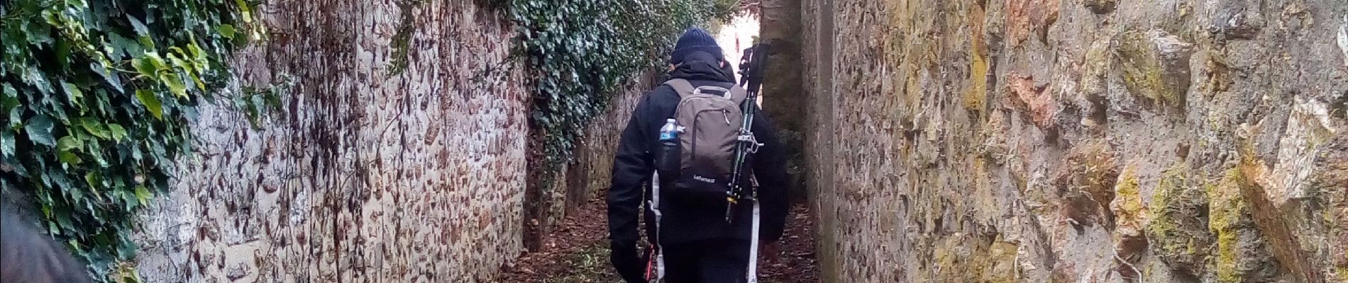
Hoogteprofiel

Foto's

Plaatsbepaling

Land:
France
Regio :
Île-de-France
Departement/Provincie :
Seine-et-Marne
Gemeente :
Saint-Fargeau-Ponthierry
Locatie:
Unknown
Vertrek:(UTM)
465040 ; 5375842 (31U) N.


Sluiten
Mijn abonnementen