


Reillon (Les Entonnoirs)

MMarie
Gebruiker
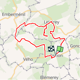

Lengte
17,6 km

Max. hoogte
304 m

Positief hoogteverschil
222 m
Km-Effort
21 km

Min. hoogte
244 m

Negatief hoogteverschil
220 m
Boucle
Ja
Datum van aanmaak :
2014-12-10 00:00:00.0
Laatste wijziging :
2014-12-10 00:00:00.0
4h27
Moeilijkheid : Medium

Gratisgps-wandelapplicatie
 SityTrail
IGN / Geografische instituten
SityTrail Plus
De wereld gaat voor u open
Over ons
Tocht Stappen van 17,6 km beschikbaar op Grand Est, Meurthe-et-Moselle, Reillon. Deze tocht wordt voorgesteld door MMarie.
Beschrijving
Topo-Guide N°9
La Lorraine à pied
7 Juillet 2013
Sentiers non entretenus
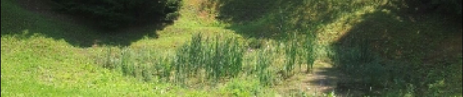
Foto's
 - Photo 1")
 - Photo 2")
 - Photo 3")
 - Photo 4")
 - Photo 5")
 - Photo 6")
 - Photo 7")
 - Photo 8")
 - Photo 9")


Plaatsbepaling
Land:
France
Regio :
Grand Est
Departement/Provincie :
Meurthe-et-Moselle
Gemeente :
Reillon
Locatie:
Unknown
Vertrek:(Dec)
Vertrek:(UTM)
333618 ; 5385299 (32U) N.
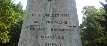
Opmerkingen