


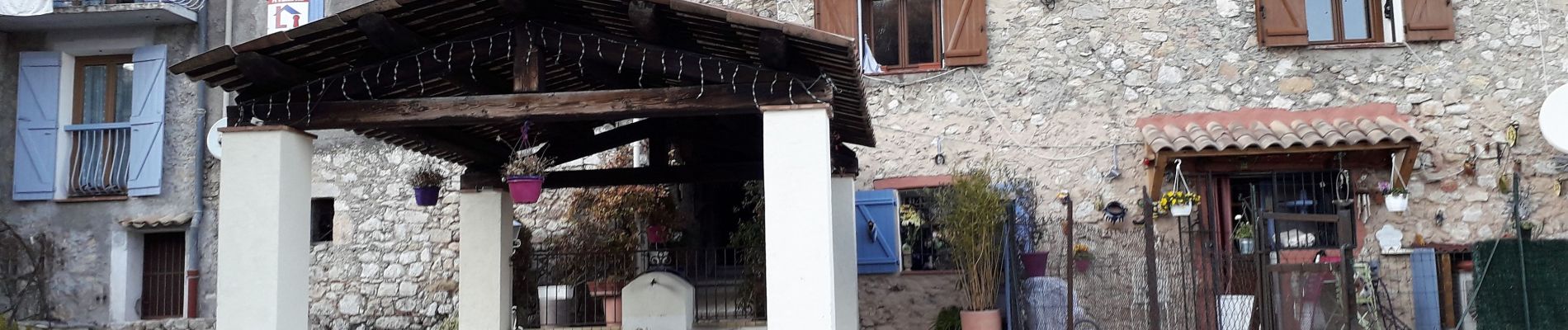
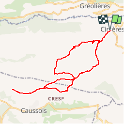
Cipières Sommet de Calern
Aridomi
Sur les chemins tout va bien

Lengte
20 km

Max. hoogte
1447 m

Positief hoogteverschil
771 m
Km-Effort
31 km

Min. hoogte
763 m

Negatief hoogteverschil
771 m
Boucle
Ja
Datum van aanmaak :
2019-02-21 14:42:55.863
Laatste wijziging :
2019-04-01 07:26:24.86
6h31
Moeilijkheid : Zeer moeilijk

Gratisgps-wandelapplicatie
 SityTrail
IGN / Geografische instituten
SityTrail Plus
De wereld gaat voor u open
Over ons
Tocht Stappen van 20 km beschikbaar op Provence-Alpes-Côte d'Azur, Alpes-Maritimes, Cipières. Deze tocht wordt voorgesteld door Aridomi.
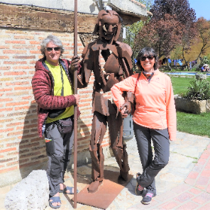
Foto's


Plaatsbepaling
Land:
France
Regio :
Provence-Alpes-Côte d'Azur
Departement/Provincie :
Alpes-Maritimes
Gemeente :
Cipières
Locatie:
Unknown
Vertrek:(Dec)
Vertrek:(UTM)
335395 ; 4849771 (32T) N.
Opmerkingen