


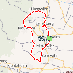


17,1 km | 25 km-effort

Gebruiker


Gratisgps-wandelapplicatie
 SityTrail
IGN / Geografische instituten
SityTrail World
De wereld gaat voor u open
Tocht Stappen van 14,3 km beschikbaar op Grand Est, Haut-Rhin, Mittelwihr. Deze tocht wordt voorgesteld door VacheKiri67.
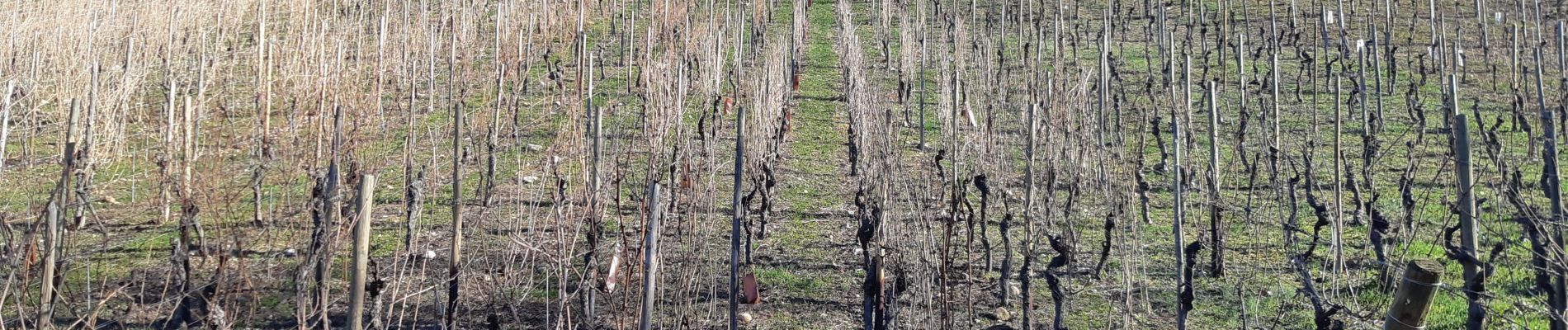
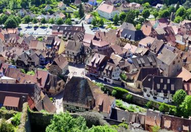
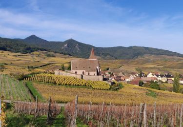
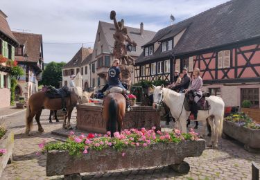
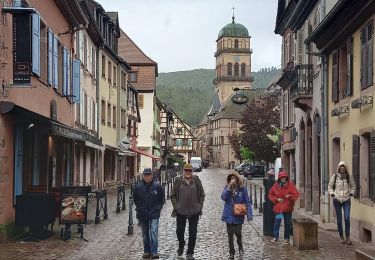
Randonnée dans le vignoble à travers les grands crus.
Faite le 24/02/2019 avec un soleil radieux.


45 fotos in totaal. Klik op een foto om ze allemaal in de galerij weer te geven.

Stappen

Mountainbike
Stappen
Paardrijden

Stappen
Paardrijden

Stappen

Stappen
Stappen