


GC745R5 = https://coord.info/GC745R5

yannick-p
Gebruiker
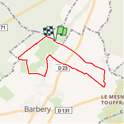

Lengte
6,5 km

Max. hoogte
146 m

Positief hoogteverschil
71 m
Km-Effort
7,5 km

Min. hoogte
113 m

Negatief hoogteverschil
75 m
Boucle
Ja
Datum van aanmaak :
2019-04-14 09:11:29.849
Laatste wijziging :
2019-04-14 09:54:01.829
2h40
Moeilijkheid : Gemakkelijk

Gratisgps-wandelapplicatie
 SityTrail
IGN / Geografische instituten
SityTrail Plus
De wereld gaat voor u open
Over ons
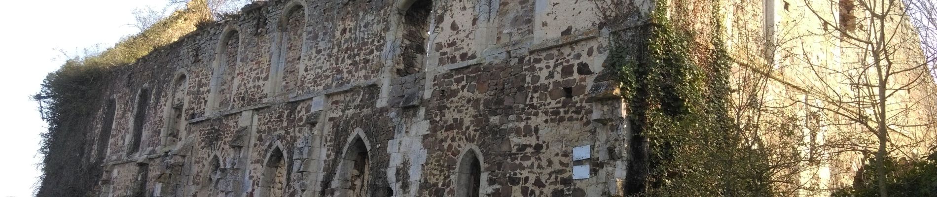
Tocht Geocaching van 6,5 km beschikbaar op Normandië, Calvados, Barbery. Deze tocht wordt voorgesteld door yannick-p.
Beschrijving
1# Allez hop !... Tout le monde à la campagne !..
https://www.geocaching.com/profile/?guid=b4eedd8e-9bbe-4bc8-b9e8-7ef96672e079&wid=833aec34-cc25-4d74-a7d9-dc6519ed91a3&ds=2
Foto's


Plaatsbepaling
Land:
France
Regio :
Normandië
Departement/Provincie :
Calvados
Gemeente :
Barbery
Locatie:
Unknown
Vertrek:(Dec)
Vertrek:(UTM)
693993 ; 5433717 (30U) N.
Opmerkingen