Tocht Stappen Saint-Pierre-en-Val - St Pierre en val, circuit du Beaumont - Photo

St Pierre en val, circuit du Beaumont

 papiou
papiou

Gebruiker

© OpenStreetMap contributors
Lengte
Lengte
13,1 km
Max. hoogte
Max. hoogte
138 m
Positief hoogteverschil
242 m
Km-Effort
Km-Effort  
16,3 km
Min. hoogte
Min. hoogte
6 m
Negatief hoogteverschil
241 m
Boucle
Boucle
Ja
Datum van aanmaak :
2019-05-16 07:47:56.237
Laatste wijziging :
2019-05-16 13:41:36.202

(0 Bericht)

Stappen
Stappen
4h30
Moeilijkheid : Moeilijk

Scan deze QR-code om de tocht te openen in de SityTrail-applicatie

Gratisgps-wandelapplicatie

Logo SityTrail SityTrail

IGN / Geografische instituten

SityTrail uit de App Store downloaden SityTrail uit Google Play downloaden

Logo SityTrail SityTrail Plus

De wereld gaat voor u open

SityTrail uit de App Store downloaden SityTrail uit Google Play downloaden SityTrail op Huawei AppGallery downloaden

Over ons

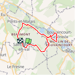
Tocht Stappen van 13,1 km beschikbaar op Normandië, Seine-Maritime, Saint-Pierre-en-Val. Deze tocht wordt voorgesteld door papiou.

Beschrijving

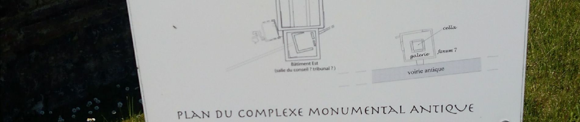
rdv parking face au cimetière puis face à la porte prendre vers la droite, après 300 mètres partir en forêt, montée très difficile sur 1 bon kilomètres, attention pas de balisage par endroit puis sur le plateau voir site archéologique, descente vers étang de la Bresle, possibilité de faire le tour de l'étang par la gauche avec 3 kms en plus puis retour en passant par ferme Beaumont après une belle montée assez difficile sur 1 km.

Hoogteprofiel

Foto's

Plaatsbepaling

Land:
France
Regio :
Normandië
Departement/Provincie :
Seine-Maritime
Gemeente :
Saint-Pierre-en-Val
Locatie:
Unknown
Vertrek:(UTM)
388749 ; 5542063 (31U) N.


Sluiten
Mijn abonnementen