


21 km | 25 km-effort

Gebruiker


Gratisgps-wandelapplicatie
 SityTrail
IGN / Geografische instituten
SityTrail World
De wereld gaat voor u open
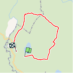
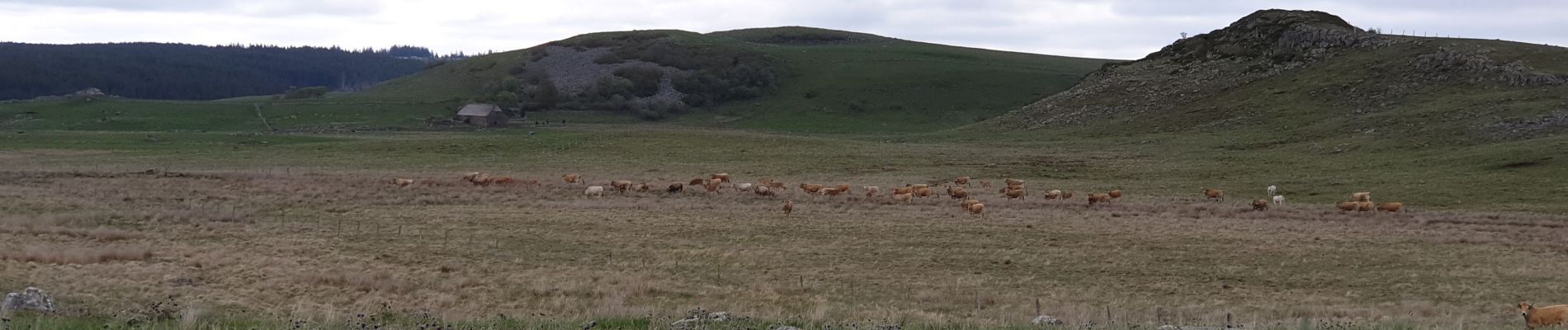
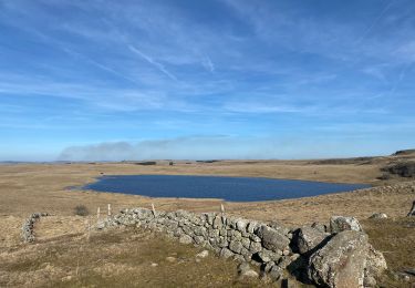
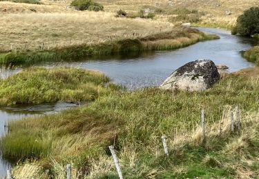
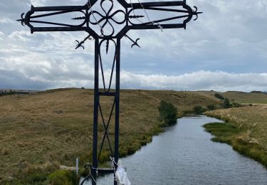
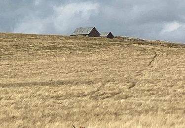
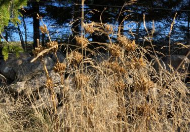
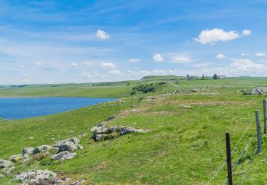
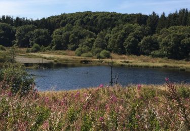
Tocht Stappen van 7,2 km beschikbaar op Occitanië, Lozère, Marchastel. Deze tocht wordt voorgesteld door yt34.
tour des burons


Stappen
Stappen
Stappen
Stappen
Stappen

Noords wandelen
Te voet
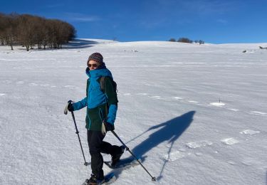
Sneeuwschoenen
Stappen