


tour des cerces

mouss65
Gebruiker
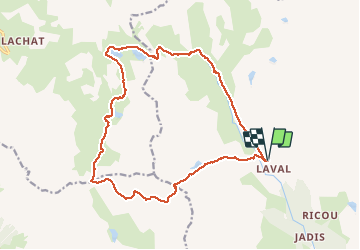

Lengte
19,8 km

Max. hoogte
2767 m

Positief hoogteverschil
1041 m
Km-Effort
34 km

Min. hoogte
2021 m

Negatief hoogteverschil
1040 m
Boucle
Ja
Datum van aanmaak :
2014-12-10 00:00:00.0
Laatste wijziging :
2014-12-10 00:00:00.0
6h00
Moeilijkheid : Medium

Gratisgps-wandelapplicatie
 SityTrail
IGN / Geografische instituten
SityTrail Plus
De wereld gaat voor u open
Over ons
Tocht Stappen van 19,8 km beschikbaar op Provence-Alpes-Côte d'Azur, Hautes-Alpes, Névache. Deze tocht wordt voorgesteld door mouss65.
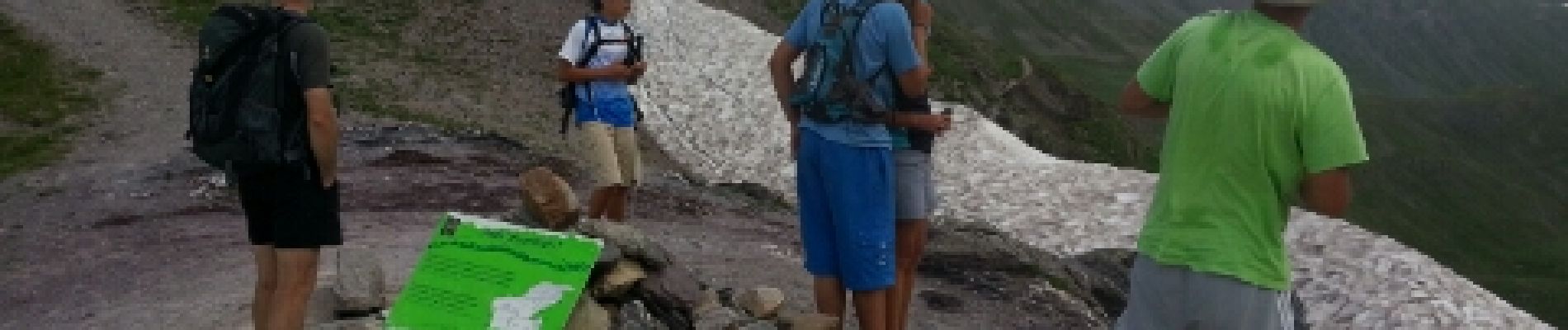
Foto's


Plaatsbepaling
Land:
France
Regio :
Provence-Alpes-Côte d'Azur
Departement/Provincie :
Hautes-Alpes
Gemeente :
Névache
Locatie:
Unknown
Vertrek:(Dec)
Vertrek:(UTM)
305235 ; 4992538 (32T) N.
Opmerkingen